2010 CREST Annual Report - Alabama A&M University
2010 CREST Annual Report - Alabama A&M University
2010 CREST Annual Report - Alabama A&M University
- No tags were found...
Create successful ePaper yourself
Turn your PDF publications into a flip-book with our unique Google optimized e-Paper software.
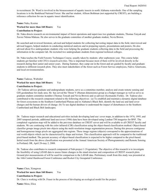
Final <strong>Report</strong>: 0420541in recruitment. Dr. Ward is involved in the bioassessment of aquatic insects in north <strong>Alabama</strong> watersheds. One of the samplinglocations is in the Bankhead National Forest. She and her student, Allison Bohlman (not supported by <strong>CREST</strong>), are building areference collection for use in aquatic insect identification. Name: Naka, KozmaWorked for more than 160 Hours:YesContribution to Project:Dr. Naka directs research on environmental impact of forest operations and supervises two graduate students, Thomas Tenyah andXavier Ndona-Makusa. He also serves in the graduate committee of another graduate student, Nevia Brown.He searched and reviewed literature, advised and helped students for collecting harvesting impact data in the field, interviewed andadvised loggers, helped students in conducting statistical analysis and in preparing reports, presentations and posters, He alsoadvised about five undergraduate students who were helping the graduate students collecting data in the field and processing theinformation in the computer lab. He recruited two undergraduate students from regional technical colleges.Dr. Naka teaches the Field Forestry Techniques Course, usually taken by students after sophomore year. This course helpsstudents get familiar with CFEA research activities. This is important because most of them will be involved directly in theresearch during their junior and senior years. During Summer, they camp out in the forest and are guided by faculty and graduatestudents to different research plots. They also meet stakeholders of the forest such us Forest Service employees, Native Americans,and local environmentalists.Name: Tadesse, WubishetWorked for more than 160 Hours:YesContribution to Project:: Dr Tadesse advises graduate and undergraduate students, serve as a committee member, analyze and create remote sensing andGIS geodatabase for study area. He has served the Thrust V (Human dimensions) group as a budget manager as well as serve asgraduate student committee member (Thomas Tenyah and Nevia Brown) and co-advisor (Syzmanski Fields). Dr. Tadesse alsocontributed to the research component related to the following objectives: (a) To establish and maintain a dynamic digital databasefor forest ecosystems in the Southern Cumberland Plateau and in <strong>Alabama</strong>'s Black Belt, identify the land use and land coverchanges and the human drivers of change. (b) To use digital database to understand the impact of disturbances in the SouthernCumberland and Black Belt landscapes.Dr. Tadesse major research and educational activities include developing land use/ cover maps, in addition to the 1974, 1995, and2005 temporal periods, additional land use/cover (1986) data have been developed using Landsat TM imageries for BNF. Thecompleted vegetation map will be added to the previous database on <strong>CREST</strong> server and will be available to all <strong>CREST</strong> faculty andstudents. We are continuing with the color infrared (CIR) classification using the object-based classification method. Object-basedclassifier groups image pixels into objects using the multi-resolution image segmentation process. During this process contiguousand homogeneous image pixels are aggregated into regions. These image regions (objects) correspond to the approximations ofreal world objects which can be characterized by shape and texture. This classification approach will be compared to the traditionalpixel-based method. The percent accuracy of object-based classification is expected to be higher compared to the pixel-based.Initial result from the above classification was presented at the <strong>Annual</strong> American Society of Photogrammetry and Remote Sensingin Portland, OR, April 28-may 2, 2008.Dr. Tadesse also contributes to research component of Sub-project 1 (Vegetation). The objective of this research is to investigatethe feasibility of using LiDAR data to assess future changes in the stand structure and composition of <strong>CREST</strong> research plots.Ground plot measurements of will be used for comparison to the LiDAR data. Preliminary result from this study was presented atthe 16th Central Hardwood Forest Conference and Rocket City Geospatial Conference. Name: Chen, XiongwenWorked for more than 160 Hours:YesContribution to Project:Dr. Chen is working with Dr. Fraser in the process of developing an ecological model for the project.Name: Moss, ElicaPage 4 of 58


