RURAL AND SUBURBAN LANDS - Jackson County Oregon
RURAL AND SUBURBAN LANDS - Jackson County Oregon
RURAL AND SUBURBAN LANDS - Jackson County Oregon

You also want an ePaper? Increase the reach of your titles
YUMPU automatically turns print PDFs into web optimized ePapers that Google loves.
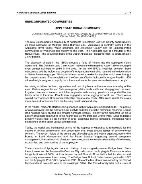
Rural and Suburban Lands Element 21-14UNINCORPORATED COMMUNITIESAPPLEGATE <strong>RURAL</strong> COMMUNITY[Adopted by Ordinance #2000-6 on 4-24-00, Acknowledged by DLCD Order #001208 on 5-26-00,Effective 6-5-00. File #96-26-OA(PR)]The rural unincorporated community of Applegate is located in <strong>Jackson</strong> <strong>County</strong> approximately20 miles northwest of Medford along Highway 238. Applegate is centrally located in theApplegate River Valley, which continues into Josephine <strong>County</strong> and the unincorporatedcommunities of Wilderville and Murphy to the west. The Applegate river is a tributary of theRogue River. The population base of the Upper Applegate (including Ruch) is approximately3,870 people.The discovery of gold in the 1850's brought a flood of miners into the Applegate Valleywatershed. The Donation Land Claim Act of 1850 and the Homestead Act of 1860 encouragedeven greater numbers to settle in the area. In the mid-1850's, hostilities between thesenewcomers and the indigenous peoples of the Applegate watershed resulted in the decimationof Native American groups. Mining activities created a market for supplies which were broughtfirst on pack trains. The completion of the Crescent City to <strong>Jackson</strong>ville Wagon Road in 1858allowed freight wagons to supply the miners and made the area accessible to more people.As mining activities declined, agriculture and ranching became the economic mainstay of thearea. Grains, vegetables and fruits were grown; dairy herds, cattle and sheep grazed the area.Irrigation diversions, some of which had originated with mining operations, supported the finefamily farms of the area. People also engaged in some logging for local use. There was asawmill on Thompson Creek and another five miles west of Ruch. After World War II, there wasmore demand for lumber from the housing construction industry.In the 1950's, residents started seeing changes in their Applegate neighborhoods. The peoplewho were moving into the hills for a rural lifestyle had little interest in farming or ranching. Largerland holdings were divided into smaller homesite parcels. Hobby farms appeared, as did apattern of workers commuting to the nearby cities of Medford and Grants Pass. Land and homeproperty values rose, as the number of large, expensive homes increased. Homesites wereestablished on the upper valleys and hillsides.Today, the social and institutional setting of the Applegate watershed is remarkable for thedegree of formal collaboration and cooperation that exists around issues of environmentalconcern. The recent history of the area is one of local groups and federal agencies, namely theBureau of Land Management and the Forest Service, organizing around ecosystemmanagement, the stewardship of natural resources, and the mutual sustainability of the forests,economies, and communities of the Applegate.The community of Applegate has a rich history. It was originally named Bridge Point. Fromthere, travelers on the <strong>Jackson</strong>ville-Crescent City trail crossed the Applegate River via a woodenbridge built around 1860. A local farmer named Orlando Rose built a hall for dances andcommunity events near the crossing. The Bridge Point School District was organized in 1872and the Applegate Post Office opened in 1895. One of the first stores was owned by the Pernollfamily and built two miles west of the crossing in 1874. The Pernoll family later built a store at<strong>Jackson</strong> <strong>County</strong> Comprehensive Plan