Colne - Lancashire County Council
Colne - Lancashire County Council
Colne - Lancashire County Council
You also want an ePaper? Increase the reach of your titles
YUMPU automatically turns print PDFs into web optimized ePapers that Google loves.
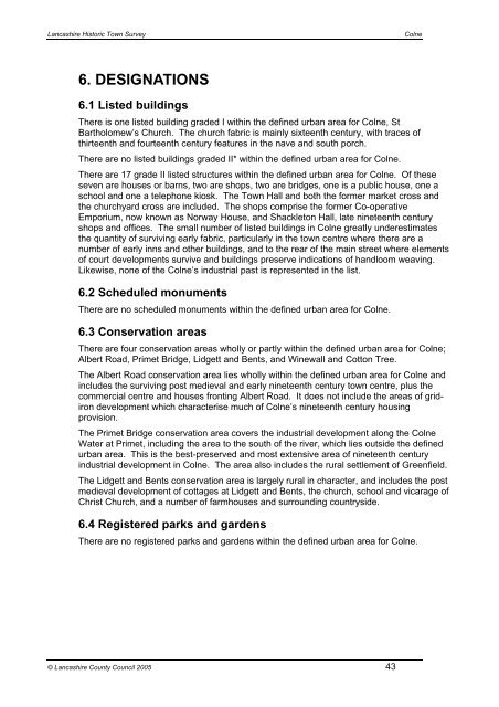
<strong>Lancashire</strong> Historic Town Survey<strong>Colne</strong>6. DESIGNATIONS6.1 Listed buildingsThere is one listed building graded I within the defined urban area for <strong>Colne</strong>, StBartholomew’s Church. The church fabric is mainly sixteenth century, with traces ofthirteenth and fourteenth century features in the nave and south porch.There are no listed buildings graded II* within the defined urban area for <strong>Colne</strong>.There are 17 grade II listed structures within the defined urban area for <strong>Colne</strong>. Of theseseven are houses or barns, two are shops, two are bridges, one is a public house, one aschool and one a telephone kiosk. The Town Hall and both the former market cross andthe churchyard cross are included. The shops comprise the former Co-operativeEmporium, now known as Norway House, and Shackleton Hall, late nineteenth centuryshops and offices. The small number of listed buildings in <strong>Colne</strong> greatly underestimatesthe quantity of surviving early fabric, particularly in the town centre where there are anumber of early inns and other buildings, and to the rear of the main street where elementsof court developments survive and buildings preserve indications of handloom weaving.Likewise, none of the <strong>Colne</strong>’s industrial past is represented in the list.6.2 Scheduled monumentsThere are no scheduled monuments within the defined urban area for <strong>Colne</strong>.6.3 Conservation areasThere are four conservation areas wholly or partly within the defined urban area for <strong>Colne</strong>;Albert Road, Primet Bridge, Lidgett and Bents, and Winewall and Cotton Tree.The Albert Road conservation area lies wholly within the defined urban area for <strong>Colne</strong> andincludes the surviving post medieval and early nineteenth century town centre, plus thecommercial centre and houses fronting Albert Road. It does not include the areas of gridirondevelopment which characterise much of <strong>Colne</strong>’s nineteenth century housingprovision.The Primet Bridge conservation area covers the industrial development along the <strong>Colne</strong>Water at Primet, including the area to the south of the river, which lies outside the definedurban area. This is the best-preserved and most extensive area of nineteenth centuryindustrial development in <strong>Colne</strong>. The area also includes the rural settlement of Greenfield.The Lidgett and Bents conservation area is largely rural in character, and includes the postmedieval development of cottages at Lidgett and Bents, the church, school and vicarage ofChrist Church, and a number of farmhouses and surrounding countryside.6.4 Registered parks and gardensThere are no registered parks and gardens within the defined urban area for <strong>Colne</strong>.© <strong>Lancashire</strong> <strong>County</strong> <strong>Council</strong> 2005 43


