LIST OF PLATES—MESILLA AND JORNADA BASINS Plate 1 ...
LIST OF PLATES—MESILLA AND JORNADA BASINS Plate 1 ...
LIST OF PLATES—MESILLA AND JORNADA BASINS Plate 1 ...

Create successful ePaper yourself
Turn your PDF publications into a flip-book with our unique Google optimized e-Paper software.
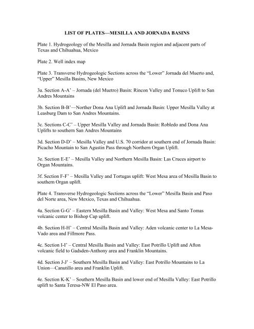
<strong>LIST</strong> <strong>OF</strong> <strong>PLATES—MESILLA</strong> <strong>AND</strong> <strong>JORNADA</strong> <strong>BASINS</strong><strong>Plate</strong> 1. Hydrogeology of the Mesilla and Jornada Basin region and adjacent parts ofTexas and Chihuahua, Mexico<strong>Plate</strong> 2. Well index map<strong>Plate</strong> 3. Transverse Hydrogeologic Sections across the “Lower” Jornada del Muerto and,“Upper” Mesilla Basins, New Mexico3a. Section A-A’ – Jornada (del Muetro) Basin: Rincon Valley and Tonuco Uplift to SanAndres Mountains3b. Section B-B’—Norther Dona Ana Uplift and Jornada Basin: Upper Mesilla Valley atLeasburg Dam to San Andres Mountains.3c. Sections C-C’ – Upper Mesilla Valley and Jornada Basin: Robledo and Dona AnaUplifts to southern San Andres Mountains3d. Section D-D’ – Mesilla Valley and U.S. 70 corridor at southern end of Jornada Basin:Picacho Mountain to San Agustin Pass through Northern Organ Uplift.3e. Section E-E’ – Mesilla Valley and Northern Mesilla Basin: Las Cruces airport toOrgan Mountains.3f. Section F-F’ – Mesilla Valley and Tortugas uplift: West Mesa area of Mesilla Basin tosouthern Organ uplift.<strong>Plate</strong> 4. Transverse Hydrogeologic Sections across the “Lower” Mesilla Basin and Pasodel Norte area, New Mexico, Texas and Chihuahua.4a. Section G-G’ – Eastern Mesilla Basin and Valley: West Mesa and Santo Tomasvolcanic center to Bishop Cap uplift.4b. Section H-H’ – Central Mesilla Basin and Valley: Aden volcanic center to La Mesa-Vado area and Fillmore Pass.4c. Section I-I’ – Central Mesilla Basin and Valley: East Potrillo Uplift and Aftonvolcanic field to Gadsden-Anthony area and Franklin Mountains.4d. Section J-J’ – Southern Mesilla Basin and Valley: East Potrillo Mountains to LaUnion—Canutillo area and Franklin Uplift.4e. Section K-K’ – Southern Mesilla Basin and lower end of Mesilla Valley: East Potrillouplift to Santa Teresa-NW El Paso area.
<strong>Plate</strong> R4. Transverse Hydrogeologic Sections across the Rincon Valley and adjacentparts of the southern Palomas and Jornada Basins between Caballo Dam and SeldenCanyon.R4a. Hydrogeologic Section RA-RA’ – Central Palomas Basin and upper RinconValley: Animas uplift to Red HillsR4b. Hydrogeologic Section RB-RB’—Southern Palomas Basin and UpperRincon Valley: Southern Animas uplift to Derry HillsR4c. Hydrogeologic Section RC-RC’ – Eastern Uvas Valley and Central RinconValley: Nutt-Hockett Basin to Southern Caballo uplift.R4d. Hydrogeologic Section RD-RD’ – Central Rincon Valley: Northern Uvasuplift to southern Red House (Caballo) uplift.R4e. Hydrogeologic Section RE-RE’ – Lower Rincon Valley and southernJornada Basin: Uvas uplift to San Andres uplift.R4f. Hydrogeologic Section RF-A-A’ – Lower Rincon Valley, Tonuco uplift, andsouthern Jornada Basin: Uvas uplift to southern San Andres Mountains (includes<strong>Plate</strong> 3a—Section A-A’ of Hawley and Kennedy 2004).<strong>Plate</strong> R5. Longitudinal Hydrogeologic Section CD-LC – Rincon, Selden Canyon andupper Mesilla segments of the inner Rio Grande Valley: Caballo Dam to Las Cruces, viaLeasburg Dam (connects at US-70 in Las Cruces with <strong>Plate</strong> 5c—Section O-O’ of Hawleyand Kennedy 2004).