Weber River Flood Damage Assessment - Riverdale City
Weber River Flood Damage Assessment - Riverdale City
Weber River Flood Damage Assessment - Riverdale City

You also want an ePaper? Increase the reach of your titles
YUMPU automatically turns print PDFs into web optimized ePapers that Google loves.
<strong>River</strong>dale <strong>City</strong> 2011 <strong>Flood</strong> <strong>Assessment</strong> October 13, 2011<br />
Figure 1-Example of large alluvial deposits upstream of <strong>River</strong>dale <strong>City</strong>.<br />
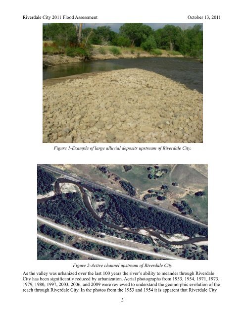
Figure 2-Active channel upstream of <strong>River</strong>dale <strong>City</strong><br />
As the valley was urbanized over the last 100 years the river’s ability to meander through <strong>River</strong>dale<br />
<strong>City</strong> has been significantly reduced by urbanization. Aerial photographs from 1953, 1954, 1971, 1973,<br />
1979, 1980, 1997, 2003, 2006, and 2009 were reviewed to understand the geomorphic evolution of the<br />
reach through <strong>River</strong>dale <strong>City</strong>. In the photos from the 1953 and 1954 it is apparent that <strong>River</strong>dale <strong>City</strong><br />
3