3D Analyst – Visualization with ArcGlobe - Esri
3D Analyst – Visualization with ArcGlobe - Esri
3D Analyst – Visualization with ArcGlobe - Esri
SHOW LESS

Create successful ePaper yourself
Turn your PDF publications into a flip-book with our unique Google optimized e-Paper software.
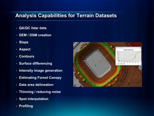
Analysis Capabilities for Terrain Datasets<br />
• QA/QC lidar data<br />
• DEM / DSM creation<br />
• Slope<br />
• Aspect<br />
• Contours<br />
• Surface differencing<br />
• Intensity image generation<br />
• Estimating Forest Canopy<br />
• Data area delineation<br />
• Thinning / reducing noise<br />
• Spot interpolation<br />
• Profiling