Michelena - CORPOANDES
Michelena - CORPOANDES
Michelena - CORPOANDES

You also want an ePaper? Increase the reach of your titles
YUMPU automatically turns print PDFs into web optimized ePapers that Google loves.
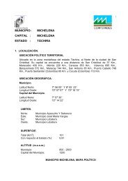
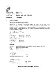
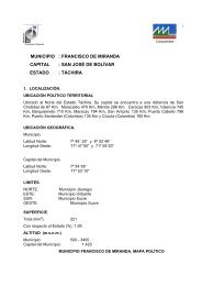
Municipio.<br />
Latitud Norte: 7º 56´05” Y 8º 05´ 23”<br />
Longitud Oeste: 72º 07´07” Y 72º 16´15”<br />
Capital del Municipio.<br />
Latitud Norte: 7º 57´30”<br />
Longitud Oeste: 72º 14´22”<br />
Limites<br />
NORTE: Municipio Ayacucho y Seboruco<br />
ESTE Municipio José Maria Vargas<br />
SUR: Municipio Lobatera<br />
OESTE: Municipio Lobatera<br />
1.4 División Político Territorial<br />
PARROQUIAS CAPITALES CENTROS POBLADOS SUP.(KM 2 )<br />
<strong>Michelena</strong> <strong>Michelena</strong> 101<br />
Municipio Capital<br />
<strong>Michelena</strong><br />
<strong>Michelena</strong><br />
El Molino<br />
El Uvito<br />
La Borrera<br />
Las Quebradas<br />
Los Hornos<br />
Los Loros<br />
Machado<br />
Monte Grande<br />
Platanales<br />
Vegones<br />
Fuente: Gaceta Oficial del Estado Táchira. Enero 1998. N° 444, Dainco-Spagro. Levantamiento<br />
Cartográfico de Aldeas del Estado Táchira. Abril 1997. Ocei. División Político Territorial de Venezuela 1997