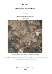
Le SIRE (Mirefleurs, Puy-de-Dôme) - geolab
Le SIRE (Mirefleurs, Puy-de-Dôme) - geolab
Le SIRE (Mirefleurs, Puy-de-Dôme) - geolab

You also want an ePaper? Increase the reach of your titles
YUMPU automatically turns print PDFs into web optimized ePapers that Google loves.
78260<br />
669088<br />
669116<br />
669144<br />
78260<br />
- <strong>SIRE</strong> 2005 - Contexte<br />
Fouilles 2003-2005<br />
Coupes 2005<br />
Zonage<br />
Sondages 2000-2002<br />
Coupes précé<strong>de</strong>ntes<br />
Mur terrasse<br />
Station 2001<br />
313.97m<br />
T3<br />
T6<br />
T8<br />
T1<br />
78232<br />
Limite du champ <strong>de</strong> blé<br />
Station 2005<br />
314.73m<br />
T7<br />
T8W<br />
T8E<br />
Station 2002<br />
315.45m<br />
Abri/pt 114<br />
315.14m<br />
T13<br />
315.00<br />
Pylône<br />
78232<br />
Point 71/ref. alt<br />
315.20m<br />
N<br />
T9<br />
T11<br />
T12<br />
310.24m<br />
310.00<br />
T10<br />
0<br />
2<br />
10<br />
20m<br />
78204<br />
78204<br />
<strong>SIRE</strong> SITU GAL 05<br />
Coordonnées LAMBERT Zone 2 étendu. Pas <strong>de</strong>s courbes <strong>de</strong> niveau: 1m. Unites en mètre.<br />
669088<br />
669116<br />
669144<br />
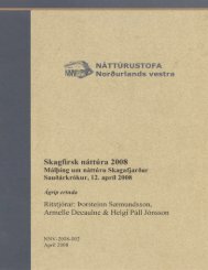
Fig. 12 : Plan général du site, avec localisation <strong>de</strong> l’ensemble <strong>de</strong>s zones sondées<br />
et fouillées.<br />
Fig. 13 : le site en cours <strong>de</strong><br />
fouilles, vu du nord. Au<br />
premier plan : le secteur A.