DoRIS – Donau River Information Services - via donau
DoRIS – Donau River Information Services - via donau
DoRIS – Donau River Information Services - via donau

Erfolgreiche ePaper selbst erstellen
Machen Sie aus Ihren PDF Publikationen ein blätterbares Flipbook mit unserer einzigartigen Google optimierten e-Paper Software.
FUNKTIONSWEISE VON <strong>DoRIS</strong><br />
Die Kernfunktion des <strong>Information</strong>ssystems <strong>DoRIS</strong> ist die<br />
Erfassung und Darstellung von Schiffen auf einer elek-<br />
tronischen Binnenschifffahrtskarte (ENC <strong>–</strong> Electronic<br />
Navigational Chart) mit den wichtigsten nautischen<br />
<strong>Information</strong>en über das Fahrwasser sowie der Verkehrs-<br />
regelung.<br />
Hauptelement von <strong>DoRIS</strong> sind AIS-Transponder. AIS<br />
steht für "Automatic Identification System" und ermöglicht<br />
die Bestimmung der aktuellen Position mittels satelliten-<br />
gestützter Ortung (GPS <strong>–</strong> Global Positioning System).<br />
Eine spezielle im Transponder eingebaute VHF-Daten-<br />
funkanlage sorgt für den Austausch dieser Positions-<br />
informationen mit anderen ausgerüsteten Schiffen und<br />
den landseitigen Einrichtungen. Dieser Datenfunk basiert<br />
auf einem von einer europäischen Expertengruppe<br />
für Tracking und Tracing spezifizierten Standard, dem<br />
so genannten Inland AIS-Standard. Dieser garantiert<br />
vollständige Kompatibilität mit dem maritimen AIS-<br />
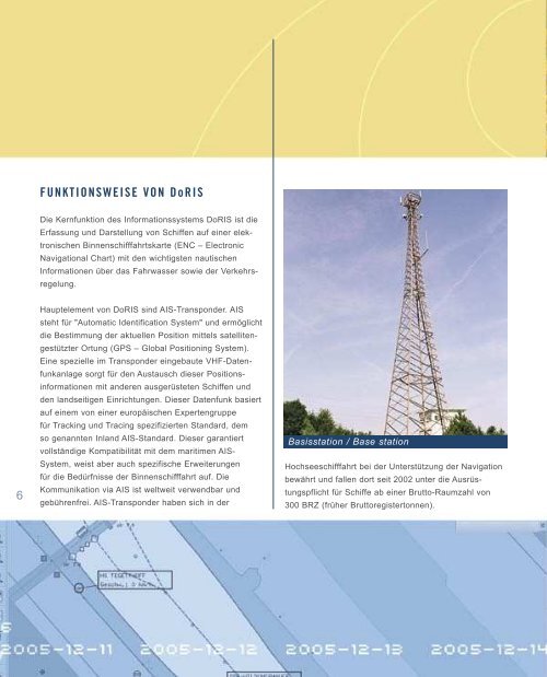
Basisstation / Base station<br />
TECHNICAL CONCEPT<br />
The core function of the <strong>DoRIS</strong> information system is to<br />
record and display vessels on an electronic navigational<br />
chart (ENC) containing the most important nautical infor-<br />
mation pertaining to waterway and traffic regulations.<br />
AIS transponders are key elements of <strong>DoRIS</strong>. AIS<br />
stands for “Automatic Identification System” and enables<br />
to identify the current position of the vessels using global<br />
positioning systems (GPS). It is a system in which ships<br />
continually transmit their ID, position, speed and other<br />
data to all other nearby ships and shoreside authorities<br />
on a common VHF radio channel. This data transmission<br />
is based on a standard specified for “Tracking and Tracing”<br />
by the so-called Inland AIS standard. This standard<br />
guarantees 100% compatibility with the maritime AIS<br />
system and has the capacity to expand its applications to<br />
meet the needs of inland waterway transport.<br />
AIS transponders have proven their worth in maritime<br />
System, weist aber auch spezifische Erweiterungen<br />
Hochseeschifffahrt bei der Unterstützung der Navigation<br />
waterway transport in supporting navigation and were<br />
für die Bedürfnisse der Binnenschifffahrt auf. Die<br />
bewährt und fallen dort seit 2002 unter die Ausrüs-<br />
made part of the mandatory equipment for vessels with<br />
6<br />
Kommunikation <strong>via</strong> AIS ist weltweit verwendbar und<br />
gebührenfrei. AIS-Transponder haben sich in der<br />
tungspflicht für Schiffe ab einer Brutto-Raumzahl von<br />
300 BRZ (früher Bruttoregistertonnen).<br />
more than 300 gross registered tons in 2002. <strong>DoRIS</strong><br />
processes static data entered by the vessel operator<br />
7<br />
ECDIS Viewer, Transponder