
You also want an ePaper? Increase the reach of your titles
YUMPU automatically turns print PDFs into web optimized ePapers that Google loves.
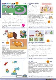
<strong>Creativity</strong> SEASIDE/TAKING LEARNING OUTSIDE<br />
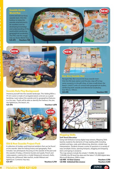
Seaside Active<br />
World Mat<br />
Come and visit our busy<br />
seaside town. Visit the<br />
harbour or enjoy the<br />
seaside entertainments.<br />
An excellent tool for<br />
developing knowledge<br />
and understanding of the<br />
world whilst reinforcing<br />
geographical vocabulary.<br />
The PVC mat fits snugly<br />
into our Active World Tray.<br />
1J3-475 Vouchers 740<br />
NEW<br />
Seaside Role Play Background<br />
Immerse yourself into the seaside landscape. This folding W3m x<br />
H1.2m scene is made of corregated plastic and acts as a great<br />
backdrop. Learn about the seaside and its geographical features<br />
in a fun way. Pupils will be able to identify the harbour, the pier,<br />
the lighthouse, the beach, etc.<br />
1J3-476 Vouchers 1,670<br />
218 Helpline 1800 621 620<br />
NEW<br />
Old & New Seaside Project Pack<br />
A collection of modern and historical artefacts that can be found<br />
at the seaside. Ideal for linking history and geography. Pack<br />
includes: two photopacks focusing on the seaside of the past and<br />
the seaside of today, a Victorian bucket and spade, Punch and<br />
Judy puppets, a penny lick, a model fairground carousel, shells,<br />
fishing net, driftwood, fake starfish, model lifeboat and<br />
lighthouse. Contents may vary.<br />
1J3-477 Vouchers 5,750<br />
NEW<br />
NEW<br />
Bee-Bot Seaside Mat<br />
Navigate Bee-Bot around the busy seaside town.<br />
Visit the life boat station and the pier, stop off to buy<br />
some souvenirs in the gift shop, or have a walk down the<br />
beach. Link ICT units on control with geographical studies,<br />
reinforcing both seaside and directional vocabulary.<br />
Size 90cm x 105cm.<br />
1J3-478 Vouchers 930<br />
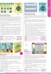
Mapping Skills<br />
Soft Teach Education<br />
Using real Ordnance Survey digital map extracts, Mapping Skills<br />
teaches students the elements of map reading skills including<br />
symbols and keys, scale, grid referencing, direction, simple map<br />
interpretation. Students answer a series of questions in a variety of<br />
ways (multiple choice, opening hotspots, dragging and dropping<br />
items and typing in answers).<br />
The map extracts include the simple 1:10,000, the standard<br />
1:50,000, the OS land line data and the latest 1:25,000 digital data.<br />
Microsoft Windows 2000 or later<br />
1J2-905 1-5 User Licence Vouchers 1,750<br />
1J2-906 Unlimited Site Licence Vouchers 5,100