

Norfolk health, heritage and biodiversity walks - Enjoying the Norfolk ...
Norfolk health, heritage and biodiversity walks - Enjoying the Norfolk ...
Norfolk health, heritage and biodiversity walks - Enjoying the Norfolk ...

You also want an ePaper? Increase the reach of your titles
YUMPU automatically turns print PDFs into web optimized ePapers that Google loves.
Walk<br />
10<br />
Carbrooke<br />
Start point Carbrooke Village Hall (Church Street)<br />
Grid reference TF949021 • Postcode IP25 6SW<br />
Parking Carbrooke Village Hall car park – free<br />
Distance 3.3 miles<br />
Details Minor gradients, 50% soft<br />
Note: please park at <strong>the</strong> rear of <strong>the</strong> Village Hall to keep front access<br />
<strong>and</strong> hall access areas clear.<br />
Walk instructions<br />
1. Starting at <strong>the</strong> village hall, turn left on to Church Street <strong>and</strong> follow <strong>the</strong><br />
road through <strong>the</strong> village (Church Street becomes Shipdham Road).<br />
2. Turn left along a public footpath towards Fen Farm (you will see a large<br />
sign for ‘Fen Farm’ at this turning).<br />
3. Follow <strong>the</strong> track sharp left when you reach <strong>the</strong> farm buildings.<br />
4. Bear right, continuing to follow <strong>the</strong> track through <strong>the</strong> trees <strong>and</strong> ignoring<br />
any paths to your left.<br />
5. After almost three quarters of a mile, turn a sharp left at <strong>the</strong> junction of<br />
tracks, still following <strong>the</strong> track through open fields.<br />
6. At <strong>the</strong> corner, bear left, still following <strong>the</strong> track.<br />
40<br />
7. At <strong>the</strong> water works, go under or around <strong>the</strong> gate <strong>and</strong> turn right on to a<br />
hard surface lane.<br />
8. Turn left at Water House <strong>and</strong> <strong>the</strong>n when you reach <strong>the</strong> road, bear left<br />
(effectively walking straight on).<br />
9. At <strong>the</strong> road junction, turn left. Follow <strong>the</strong> road through Caudlesprings<br />
<strong>and</strong> continue on as it becomes Drury Lane.<br />
10. At <strong>the</strong> end of <strong>the</strong> road, turn left on to Bridge Street using a raised<br />
pavement on <strong>the</strong> right. Follow Bridge Street (which becomes Church<br />
Street) back to <strong>the</strong> village hall on your left.<br />
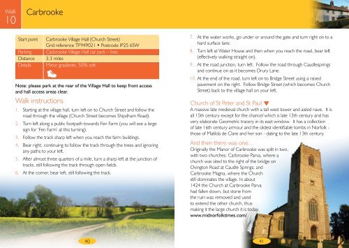
Church of St Peter <strong>and</strong> St Paul <br />
A massive late medieval church with a tall west tower <strong>and</strong> aisled nave. It is<br />
all 15th century except for <strong>the</strong> chancel which is late 13th century <strong>and</strong> has<br />
very elaborate Geometric tracery in its east window. It has a collection<br />
of late 16th century armour <strong>and</strong> <strong>the</strong> oldest identifiable tombs in <strong>Norfolk</strong> -<br />
those of Matilda de Clare <strong>and</strong> her son - dating to <strong>the</strong> late 13th century.<br />
And <strong>the</strong>n <strong>the</strong>re was one…<br />
Originally <strong>the</strong> Manor of Carbrooke was split in two,<br />
with two churches: Carbrooke Parva, where a<br />
church was sited to <strong>the</strong> right of <strong>the</strong> bridge on<br />
Ovington Road at Caudle Springs; <strong>and</strong><br />
Carbrooke Magna, where <strong>the</strong> Church<br />
still dominates <strong>the</strong> village. In about<br />
1424 <strong>the</strong> Church at Carbrooke Parva<br />
had fallen down, but stone from<br />
<strong>the</strong> ruin was removed <strong>and</strong> used<br />
to extend <strong>the</strong> o<strong>the</strong>r church, thus<br />
making it <strong>the</strong> large church it is today.<br />
www.midnorfolktimes.com/<br />
41