1 PP - Ponderosa Pine Zone By Derek Marcoux ... - Selkirk College
1 PP - Ponderosa Pine Zone By Derek Marcoux ... - Selkirk College
1 PP - Ponderosa Pine Zone By Derek Marcoux ... - Selkirk College
You also want an ePaper? Increase the reach of your titles
YUMPU automatically turns print PDFs into web optimized ePapers that Google loves.
<strong>PP</strong> - <strong>Ponderosa</strong> <strong>Pine</strong> <strong>Zone</strong><br />
Introduction<br />
<strong>By</strong> <strong>Derek</strong> <strong>Marcoux</strong> R.P.Bio., <strong>Selkirk</strong> <strong>College</strong><br />
The <strong>Ponderosa</strong> <strong>Pine</strong> (<strong>PP</strong>) zone occurs in valley bottoms above the BG<br />
zone (where present) to approximately 900m and is situated beneath<br />
the IDF zone. This is the driest forested zone in the province (Meidinger<br />
and Pojar 1991). Lloyd et. al. (1990) reports that the mean annual<br />
precipitation ranges between 250-400mm and the mean annual<br />
temperature ranges between 5.4 and 9.0 o C.<br />
There are two subzones recognized in the <strong>PP</strong> zone. The very dry, hot<br />
subzone (<strong>PP</strong>xh) occupies valley bottom between Lytton, Lilloet, Nicola<br />
and Thompson rivers and the Okanagan Valley. The dry, hot subzone (<strong>PP</strong>dh) is found<br />
along the Kettle River near Grand Forks, drier portions of the East Kootenay Trench<br />
near Cranbrook and the Kootenay River along the Koocanusa reservoir (Meidinger and<br />
Pojar 1991).<br />
Soils are typically Chernozemic or Brunisolic with thin mull humus forms. Parent material<br />
are often glaciofluvial, fluvial, glaciolacustrine, morainal, colluvial or eolian.<br />
Ecosystems<br />
The following ecosystem information is summarized from Braumandl<br />
and Curran (1992), Lloyd et. al. (1990), Meidinger and Pojar (1991) and<br />
Steen and Coupé (1997).<br />
Zonal ecosystems in the <strong>PP</strong>xh subzone consist of <strong>Ponderosa</strong> pine,<br />
Bluebunch wheatgrass (Pseudoroegneria spicata), and Idaho fescue<br />
(Festuca idahoensis). Dry sites consist of <strong>Ponderosa</strong> pine, Big sage<br />
(Artemesia tridentata) and Bluebunch wheatgrass. Douglas-fir<br />
(Pseudotsuga menziesii) and Trembling aspen are more common on<br />
wetter sites or cool aspects. Understory species on theses sites<br />
includes Snowberry (Symphoricarpos albus), <strong>Pine</strong>grass (Calamagrostis rubescens) and<br />
Birch-leaved spirea (Spiraea betulifolia).<br />
In the <strong>PP</strong>dh, zonal sites are occupied by ponderosa pine, Bluebunch wheatgrass and<br />
junegrass (Koeleria macrantha). Dry sites are typified by compact selaginella<br />
(Selaginella densa), Bluebunch wheatgrass and blue-eyed Mary (Collinsia parvifora).<br />
Isolated pockets of dense forest occur in wet sites near riparian areas and depressions.<br />
These sites have vegetation such as trembling aspen, black cottonwood, snowberry<br />
(Symphoricarpos albus) and horsetail (Equisetum spp.).<br />
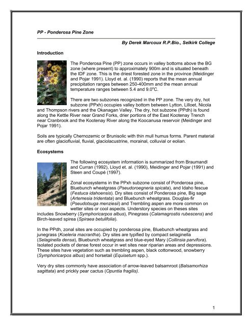
Very dry sites commonly have association of arrow-leaved balsamroot (Balsamorhiza<br />
sagittata) and prickly pear cactus (Opuntia fragilis).<br />
1
Resources<br />
This zone is used extensively for cattle grazing in the spring and provides ideal ungulate<br />
winter range habitat. Additional agricultural crops include a variety of fruits from<br />
orchards, wine production from vineyards in the southern end of the range and ginseng.<br />
Due to the population density and rolling topography, urban development is common<br />
and widespread in some areas particularly the Okanagan valley.<br />
Forestry activities are often limited due to poor productivity and sparse coverage of<br />
commercial trees.<br />
Recreational activities include hiking, mountain biking, hunting and fishing. Water sports<br />
are common near large water bodies such as Okanagan Lake.<br />
References<br />
Braumandl, T.F. and M.P. Curran. 1992. A field guide for site identification and interpretation for<br />
the Nelson Forest Region. B.C. Min. For., Res. Br., Victoria, B.C., Land Manage. Handb. No. 20.<br />
http://www.for.gov.bc.ca/hfd/pubs/docs/lmh/lmh20.htm<br />
Lloyd, D., K. Angove, G. Hope, and C. Thompson. 1990. A guide to site identification and<br />
interpretation for the Kamloops Forest Region. B.C. Min. For., Res. Br., Victoria, B.C., Land<br />
Manage. Handb. No. 23. http://www.for.gov.bc.ca/hfd/pubs/docs/lmh/lmh23.htm<br />
Meidinger, D. and Pojar, J. 1991. Ecosystems of British Columbia. British Columbia Ministry of<br />
Forests. 330 pp. http://www.for.gov.bc.ca/hfd/pubs/Docs/Srs/SRseries.htm<br />
Steen, O.A., and R.A. Coupé. 1997. A field guide to forest site identification and interpretation for<br />
the Cariboo Forest Region. B.C. Min. For., Res. Br., Victoria, B.C., Land Manage. Handb. No. 39.<br />
http://www.for.gov.bc.ca/hfd/pubs/docs/lmh/lmh39.htm<br />
Images © <strong>Derek</strong> <strong>Marcoux</strong><br />
2


