FOG, Produktinfo - itwh GmbH
FOG, Produktinfo - itwh GmbH
FOG, Produktinfo - itwh GmbH

You also want an ePaper? Increase the reach of your titles
YUMPU automatically turns print PDFs into web optimized ePapers that Google loves.
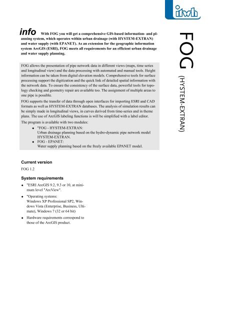
info With <strong>FOG</strong> you will get a comprehensive GIS-based information- and planning<br />
system, which operates within urban drainage (with HYSTEM-EXTRAN)<br />
and water supply (with EPANET). As an extension for the geographic information<br />
system ArcGIS (ESRI), <strong>FOG</strong> meets all requirements for an efficient urban drainage<br />
and water supply planning.<br />
<strong>FOG</strong> allows the presentation of pipe network data in different views (maps, time series<br />
and longitudinal view) and the data processing with automated and manual tools. Height<br />
information can be taken from digital elevation models. Comprehensive tools for surface<br />
processing support the digitization and the quick link of detailed spatial information with<br />
the network data. To ensure the consistency of the surface data, powerful tools for topology<br />
checking and geometry repair are available too. The assignment of multiple areas to<br />
one pipe is possible.<br />
<strong>FOG</strong> supports the transfer of data through open interfaces for importing ESRI and CAD<br />
formats as well as HYSTEM-EXTRAN databases. The analysis of simulation results can<br />
be simply made in longitudinal views, in curves derived from time-series and in theme<br />
plans. The use of ArcGIS labeling functions is will be simplified with a label editor.<br />
The program is available with two modules:<br />
"<strong>FOG</strong> - HYSTEM-EXTRAN:<br />
Urban drainage planning based on the hydro-dynamic pipe network model<br />
HYSTEM-EXTRAN.<br />
<strong>FOG</strong> - EPANET:<br />
Water supply planning based on the freely available EPANET model.<br />
Current version<br />
<strong>FOG</strong> 1.2<br />
System requirements<br />
"ESRI ArcGIS 9.2, 9.3 or 10, at minimum<br />
level "ArcView".<br />
"Operating systems:<br />
Windows XP Professional SP2, Windows<br />
Vista (Enterprise, Business, Ultimate),<br />
Windows 7 (32 or 64 bit)<br />
Hardware requirements correspond to<br />
those of the ArcGIS product.<br />
<strong>FOG</strong> (HYSTEM-EXTRAN)
<strong>FOG</strong> (HYSTEM-EXTRAN) - scope of services<br />
Function calls from topic related toolbars<br />
Import/export interface to HYSTEM-EXTRAN;<br />
import from ESRI and CAD formats<br />
Editing of pipe networks with object-oriented data<br />
input or tools for moving, cutting, interpolation and<br />
multiple assignment<br />
Easy creation of labels<br />
Presentation of longitudinal views with manhole connections,<br />
crossing pipes, digital elevation and simulation<br />
results; working in longitudinal and plan view at<br />
the same time<br />
Import of HYSTEM-EXTRAN-special profiles; profile<br />
digitization on background images<br />
<strong>FOG</strong>-user interface with toolbars<br />
Topological clean editing of spatial data, tools for<br />
repairing geometry<br />
Automatical assignment of surface areas to the pipe<br />
network based on distance relationships; automatic<br />
creation of catchment areas using Thiessen-Polygons<br />
Automatic intersection of areas for identifying impervious<br />
area; different sealing degrees can be considered<br />
Display of hydrographs<br />
Preparation of theme plans<br />
Search and analysis functions, error checking of network<br />
data<br />
<strong>itwh</strong> - Institut für<br />
technisch-wissenschaftliche<br />
Hydrologie <strong>GmbH</strong><br />
Engelbosteler Damm 22<br />
D- 30167 Hannover<br />
Phone +49 511 / 97193-0<br />
Fax +49 511 / 97193-77<br />
E-Mail: <strong>itwh</strong>@<strong>itwh</strong>.de<br />
Internet: www.<strong>itwh</strong>.de