CAL FIRE Tulare Unit - Board of Forestry and Fire Protection - State ...
CAL FIRE Tulare Unit - Board of Forestry and Fire Protection - State ...
CAL FIRE Tulare Unit - Board of Forestry and Fire Protection - State ...
You also want an ePaper? Increase the reach of your titles
YUMPU automatically turns print PDFs into web optimized ePapers that Google loves.
Executive Summary<br />
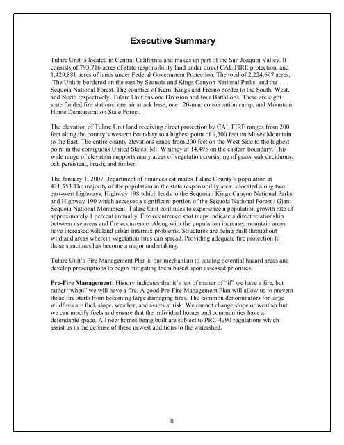
<strong>Tulare</strong> <strong>Unit</strong> is located in Central California <strong>and</strong> makes up part <strong>of</strong> the San Joaquin Valley. It<br />
consists <strong>of</strong> 793,716 acres <strong>of</strong> state responsibility l<strong>and</strong> under direct <strong>CAL</strong> <strong>FIRE</strong> protection, <strong>and</strong><br />
1,429,881 acres <strong>of</strong> l<strong>and</strong>s under Federal Government <strong>Protection</strong>. The total <strong>of</strong> 2,224,697 acres,<br />
.The <strong>Unit</strong> is bordered on the east by Sequoia <strong>and</strong> Kings Canyon National Parks, <strong>and</strong> the<br />
Sequoia National Forest. The counties <strong>of</strong> Kern, Kings <strong>and</strong> Fresno border to the South, West,<br />
<strong>and</strong> North respectively. <strong>Tulare</strong> <strong>Unit</strong> has one Division <strong>and</strong> four Battalions. There are eight<br />
state funded fire stations; one air attack base, one 120-man conservation camp, <strong>and</strong> Mountain<br />
Home Demonstration <strong>State</strong> Forest.<br />
The elevation <strong>of</strong> <strong>Tulare</strong> <strong>Unit</strong> l<strong>and</strong> receiving direct protection by <strong>CAL</strong> <strong>FIRE</strong> ranges from 200<br />
feet along the county’s western boundary to a highest point <strong>of</strong> 9,300 feet on Moses Mountain<br />
to the East. The entire county elevations range from 200 feet on the West Side to the highest<br />
point in the contiguous <strong>Unit</strong>ed <strong>State</strong>s, Mt. Whitney at 14,495 on the eastern boundary. This<br />
wide range <strong>of</strong> elevation supports many areas <strong>of</strong> vegetation consisting <strong>of</strong> grass, oak deciduous,<br />
oak persistent, brush, <strong>and</strong> timber.<br />
The January 1, 2007 Department <strong>of</strong> Finances estimates <strong>Tulare</strong> County’s population at<br />
421,553.The majority <strong>of</strong> the population in the state responsibility area is located along two<br />
east-west highways. Highway 198 which leads to the Sequoia / Kings Canyon National Parks<br />
<strong>and</strong> Highway 190 which accesses a significant portion <strong>of</strong> the Sequoia National Forest / Giant<br />
Sequoia National Monument. <strong>Tulare</strong> <strong>Unit</strong> continues to experience a population growth rate <strong>of</strong><br />
approximately 1 percent annually. <strong>Fire</strong> occurrence spot maps indicate a direct relationship<br />
between use areas <strong>and</strong> fire occurrence. Along with the population increase, mountain areas<br />
have increased wildl<strong>and</strong> urban intermix problems. Structures are being built throughout<br />
wildl<strong>and</strong> areas wherein vegetation fires can spread. Providing adequate fire protection to<br />
those structures has become a major undertaking.<br />
<strong>Tulare</strong> <strong>Unit</strong>’s <strong>Fire</strong> Management Plan is our mechanism to catalog potential hazard areas <strong>and</strong><br />
develop prescriptions to begin mitigating them based upon assessed priorities.<br />
Pre-<strong>Fire</strong> Management: History indicates that it’s not <strong>of</strong> matter <strong>of</strong> “if” we have a fire, but<br />
rather “when” we will have a fire. A good Pre-<strong>Fire</strong> Management Plan will allow us to prevent<br />
those fire starts from becoming large damaging fires. The common denominators for large<br />
wildfires are fuel, slope, weather, <strong>and</strong> assets at risk. We cannot change slope or weather but<br />
we can modify fuels <strong>and</strong> ensure that the individual homes <strong>and</strong> communities have a<br />
defendable space. All new homes being built are subject to PRC 4290 regulations which<br />
assist us in the defense <strong>of</strong> these newest additions to the watershed.<br />
8


