BUKU KETERANGAN PETA SATÜAN LAHAN DAN TANAH ...
BUKU KETERANGAN PETA SATÜAN LAHAN DAN TANAH ...
BUKU KETERANGAN PETA SATÜAN LAHAN DAN TANAH ...
Create successful ePaper yourself
Turn your PDF publications into a flip-book with our unique Google optimized e-Paper software.
Scanned from original by ISRIC - World Soil Information, as ICSU<br />
World Data Centre for Soils. The purpose is to make a safe<br />
depository for endangered documents and to make the accrued<br />
information available for consultation, following Fair Use j<br />
Guidelines. Every effort is taken to respect Copyright of the<br />
materials within the archives where the identification of the<br />
Copyright holder is clear and, where feasible, to contact the<br />
originators. For questions please contact soil.isric(5)wur.nl I<br />
indicating the item reference number concerned.<br />
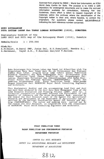
<strong>BUKU</strong> <strong>KETERANGAN</strong><br />
<strong>PETA</strong> SATUAN <strong>LAHAN</strong> dan <strong>TANAH</strong> LEMBAR KOTAAGUNG (1010), SUMATERA<br />
Explanatory booklet of the<br />
LAND UNIT and SOIL map of the Kotaagung Sheet (1010), Sumatra<br />
Sekala/Scale 1 : 250.000<br />
Oleh/By:<br />
A.Hidayat, H.Darul SWP, Junus Dai, H.Y.Sumulyadi, Hendra S.,<br />
A.Hermawan, Yayat A.H., P.Buurman dan/and T.Balsem.<br />
Buku Keterangan Peta Satuan Lahan dan Tanah ini dihasilkan oleh Tim<br />
Pengelolaan Data Base Tanah dari Pn.yek Perencanaan dan Evaluasi<br />
Sumber Daya Lahan, program kerja sama teknis antara Pemerintah<br />
Republik Indonesia dan Bank Pembangunan Asia, dilaksanakan oleh<br />
Pusat Penelitian Tanah (Badan Penelitian dan Pengembangan Pertanian,<br />
Departemen Pertanian) dan dikoordinasikan oleh Badan Koordinasi<br />
Survei dan Pemetaan Nasional (BAKOSURTANAL). Survei dan<br />
pemetaan dilaksanakan oleh Pusat Penelitian Tanah bekerjasama<br />
dengan konsultan dari HASK0NING Royal Dutch Consulting Engineers<br />
and Architects.<br />
This Explanatory Booklet and the accompanying Land Unit and Soil<br />
map have been produced by the Soil Data Base Management Team of the<br />
Land Resource Evaluation and Planning Project (LREP, part II), a<br />
technical cooperation programme between the Government of the<br />
Republic of Indonesia and the Asian Development Bank, executed by<br />
the Center for Soil Research (part of the Agency for Agricultural<br />
Research and Development of the Department of Agriculture) and supervised<br />
by the National Coordination Agency for Surveys and dapping<br />
(BAKOSURTANAL). The survey and mapping were carried out by<br />
the Center for Soil Research, in cooperation with the consultants<br />
of HASKONING Royal Dutch Consulting Engineers and Architects.<br />
PUSAT PENELITIAN <strong>TANAH</strong><br />
BA<strong>DAN</strong> PENELITIAN <strong>DAN</strong> PENGEMBANGAN PERTANIAN<br />
DEPARTEMEN PERTANIAN<br />
CENTER for SOIL RESEARCH<br />
AGENCY for AGRICULTURAL RESEARCH and DEVELOPMENT<br />
DEPARTMENT of AGRICULTURE


