Tuolumne River Flow-Inundation Report - U.S. Fish and Wildlife ...
Tuolumne River Flow-Inundation Report - U.S. Fish and Wildlife ...
Tuolumne River Flow-Inundation Report - U.S. Fish and Wildlife ...
You also want an ePaper? Increase the reach of your titles
YUMPU automatically turns print PDFs into web optimized ePapers that Google loves.
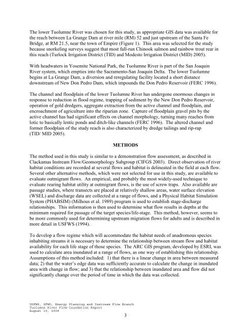
The lower <strong>Tuolumne</strong> <strong>River</strong> was chosen for this study, as appropriate GIS data was available for<br />
the reach between La Grange Dam at river mile (RM) 52 <strong>and</strong> just upstream of the Santa Fe<br />
Bridge, at RM 21.5, near the town of Empire (Figure 1). This area was selected for the study<br />
because snorkeling surveys suggest that most fall-run Chinook salmon <strong>and</strong> rainbow trout rear in<br />
this reach (Turlock Irrigation District (TID) <strong>and</strong> Modesto Irrigation District (MID) 2005).<br />
With headwaters in Yosemite National Park, the <strong>Tuolumne</strong> <strong>River</strong> is part of the San Joaquin<br />
<strong>River</strong> system, which empties into the Sacramento-San Joaquin Delta. The lower <strong>Tuolumne</strong><br />
begins at La Grange Dam, a diversion <strong>and</strong> reregulating facility located a short distance<br />
downstream of New Don Pedro Dam, which impounds the Don Pedro Reservoir (FERC 1996).<br />
The channel <strong>and</strong> floodplain of the lower <strong>Tuolumne</strong> <strong>River</strong> has undergone enormous changes in<br />
response to reduction in flood regime, trapping of sediment by the New Don Pedro Reservoir,<br />
operation of gold dredgers, aggregate extraction from the active channel <strong>and</strong> floodplain, <strong>and</strong><br />
encroachment of agriculture into the riparian zone. Capture of floodplain gravel pits by the<br />
active channel has had significant effects on channel morphology, turning many reaches from<br />
lotic to basically lentic ponds <strong>and</strong> ditch-like channels (FERC 1996). The altered channel <strong>and</strong><br />
former floodplain of the study reach is also characterized by dredge tailings <strong>and</strong> rip-rap<br />
(TID/ MID 2005).<br />
METHODS<br />
The method used in this study is similar to a demonstration flow assessment, as described in<br />
Clackamas Instream <strong>Flow</strong>/Geomorphology Subgroup (CIFGS 2003). Direct observation of river<br />
habitat conditions are recorded at several flows <strong>and</strong> habitat is delineated in the field at each flow.<br />
Several other alternative methods, which were not selected for use in this study, are available to<br />
evaluate outmigrant flows. An empirical, <strong>and</strong> probably the most widely-used technique to<br />
evaluate rearing habitat utility at outmigrant flows, is the use of screw traps. Also available are<br />
passage studies, where transects are placed at relatively shallow areas, water surface elevation<br />
(WSEL) <strong>and</strong> discharge data are collected at a range of flows, <strong>and</strong> a Physical Habitat Simulation<br />
System (PHABSIM) (Milhous et al. 1989) program is used to establish stage-discharge<br />
relationships. This information is then used to determine what flow results in depths at the<br />
minimum required for passage of the target species/life-stage. This method, however, seems to<br />
be more commonly used for determining upstream migration flows for adults <strong>and</strong> is described in<br />
more detail in USFWS (1994).<br />
To develop a flow regime which will accommodate the habitat needs of anadromous species<br />
inhabiting streams it is necessary to determine the relationship between stream flow <strong>and</strong> habitat<br />
availability for each life stage of those species. The ARC GIS program, developed by ESRI, was<br />
used to calculate area inundated at a range of flows, as one way of establishing this relationship.<br />
Assumptions of this method included: 1) that there is a linear change in area between measured<br />
data; 2) that the water’s edge data was sufficiently accurate to calculate the change in inundated<br />
area with change in flow; <strong>and</strong> 3) that the relationship between inundated area <strong>and</strong> flow did not<br />
significantly change over the period of time in which the data was collected.<br />
USFWS, SFWO, Energy Planning <strong>and</strong> Instream <strong>Flow</strong> Branch<br />
<strong>Tuolumne</strong> <strong>River</strong> <strong>Flow</strong>-<strong>Inundation</strong> <strong>Report</strong><br />
August 19, 2008<br />
3


