Regeneration of fire degraded peatswamp forest in Berbak National ...
Regeneration of fire degraded peatswamp forest in Berbak National ...
Regeneration of fire degraded peatswamp forest in Berbak National ...
Create successful ePaper yourself
Turn your PDF publications into a flip-book with our unique Google optimized e-Paper software.
<strong>Regeneration</strong> <strong>of</strong> <strong>fire</strong> <strong>degraded</strong> <strong>peatswamp</strong> <strong>forest</strong> <strong>in</strong> <strong>Berbak</strong> <strong>National</strong> Park and implementation <strong>in</strong> replant<strong>in</strong>g programmes<br />
5. Results<br />
5.1. Analysis <strong>of</strong> satellite imagenary and pre-selection <strong>of</strong> research locations<br />
5.1.1. Landsat and HotSpot<br />
The series <strong>of</strong> satellite images obta<strong>in</strong>ed from Landsat, provides a clear overview on distribution and<br />
abundance <strong>of</strong> <strong>forest</strong> <strong>fire</strong>s between 1983 and 2002 and the disturbances that took place before the<br />
1997/98 <strong>fire</strong>s. Giesen (2004) provides a detailed analysis <strong>of</strong> activities that affected <strong>Berbak</strong> before 1997<br />
and their probable l<strong>in</strong>k with <strong>fire</strong> outbreaks. This report suffices with a short overview <strong>of</strong> major events<br />
and some additional comments, based on the satellite images.<br />
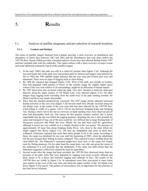
1. In the early 1980’s the park was still <strong>in</strong> a relatively prist<strong>in</strong>e state (figure 5.3a). Although the<br />
east and South side <strong>of</strong> the park were encroached upon by farmers and loggers (and affected by<br />
<strong>fire</strong> <strong>in</strong> 1982) the 1983 satellite image <strong>in</strong>dicates that the core zone and western part were still<br />
unharmed. There were no signs <strong>of</strong> logg<strong>in</strong>g trails or clear-fell<strong>in</strong>g.<br />
2. By 1989 the situation had changed (figure 5.3b). West <strong>of</strong> the park, just outside its borders,<br />
<strong>fire</strong>s had <strong>degraded</strong> small patches <strong>of</strong> <strong>forest</strong>. In the satellite image the slightly lighter green<br />
colour <strong>of</strong> the core zone relative to its surround<strong>in</strong>gs, might be an <strong>in</strong>dication <strong>of</strong> human impact.<br />
3. By 1992 <strong>forest</strong> <strong>fire</strong>s also occurred with<strong>in</strong> the park. Two sites situated at relatively deep peat<br />
deposits along the upper reaches <strong>of</strong> Air Hitam Laut, were affected (figure 5.3c). On other<br />
images large logg<strong>in</strong>g trails extend<strong>in</strong>g from the north-west <strong>of</strong> the park runn<strong>in</strong>g towards Air<br />
Hitam Laut River are clearly discernable.<br />
4. S<strong>in</strong>ce then the situation progressively worsened. The 1997 image clearly <strong>in</strong>dicates <strong>in</strong>creased<br />
human activities <strong>in</strong> the core zone (figure 5.3d) Several small <strong>fire</strong>s already occurred along the<br />
Air Hitam Laut, <strong>in</strong> the centre <strong>of</strong> the core zone that was later affected by the 1997/98 <strong>fire</strong>s.<br />
Clear-fell<strong>in</strong>g is visible <strong>in</strong> a square 120 to 150 ha site between Simpang Kubu and Simpang<br />
Aro. Dur<strong>in</strong>g a short visit to the site no survivors or dead stand<strong>in</strong>g trees were observed and all<br />
trees had presumably been cut. The reason for this practice rema<strong>in</strong>s unclear, but it seems<br />
improbable that the site was felled for logg<strong>in</strong>g purposes. Reach<strong>in</strong>g the site is only possible by<br />
canoe and transport <strong>of</strong> logs out <strong>of</strong> the area would be very difficult due to large float<strong>in</strong>g beds <strong>of</strong><br />
Hanguana malayana that block the river. Maybe the site had been used for agriculture,<br />
although it seems not very suitable as it is deeply flooded <strong>in</strong> the wet season. The presence <strong>of</strong><br />
approximately 10 large huts along Simpang Kubu River, very close to the clear felled site<br />
might support this theory (figure 5.2). The huts are dilapidated and some <strong>of</strong> them have<br />
collapsed. Fishermen reported that more than thirty people lived <strong>in</strong> the camp. Accord<strong>in</strong>g to<br />
them, the camp was <strong>in</strong>habited for one year until the beg<strong>in</strong>n<strong>in</strong>g <strong>of</strong> 2003, when the <strong>in</strong>habitants<br />
left the area because their fish<strong>in</strong>g revenues collapsed. They reported to know noth<strong>in</strong>g about the<br />
clear-felled site. The fishermen’s statement might have been true, as the camp was clearly<br />
used for fish<strong>in</strong>g purposes. On the other hand the camp looks very old, and given the extent <strong>of</strong><br />
the settlement it is well possible that the <strong>in</strong>habitants, if the camp was built earlier than the<br />
fishermen suggested, collectively cleared the land for agriculture.<br />
5. Several weeks after the image had been recorded, the 1997/98 <strong>fire</strong>s destroyed more than ten<br />
percents <strong>of</strong> the park. Sites that were <strong>degraded</strong> by logg<strong>in</strong>g were most severely affected and<br />
there seems to be a direct l<strong>in</strong>k between logg<strong>in</strong>g and outbreak <strong>of</strong> <strong>fire</strong>s. The results <strong>of</strong> the<br />
1997/98 <strong>fire</strong>s are visible <strong>in</strong> figure 5.3e. In subsequent years <strong>fire</strong>s reoccurred <strong>in</strong> many burnt<br />
sites ma<strong>in</strong>ly <strong>in</strong> the west <strong>of</strong> the core zone and along the upper reaches <strong>of</strong> the Air Hitam Laut<br />
River (figure 5.3f,g and h). This pattern <strong>of</strong> reoccurrence was <strong>of</strong> importance for the selection <strong>of</strong><br />
the f<strong>in</strong>al survey locations.<br />
26















![CynefinFramework final [Read-Only]](https://img.yumpu.com/19017304/1/190x135/cynefinframework-final-read-only.jpg?quality=85)