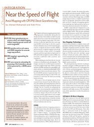
Mapping at the Speed of Flight
Mapping at the Speed of Flight
Mapping at the Speed of Flight

You also want an ePaper? Increase the reach of your titles
YUMPU automatically turns print PDFs into web optimized ePapers that Google loves.
LiDAR Accuracy<br />
Assessment (cont.)<br />
• LiDAR Hits<br />
• Surveyed Marker<br />
Top View<br />
Elev<strong>at</strong>ion<br />
Error [cm]<br />
20<br />
15<br />
10<br />
5<br />
0<br />
-5<br />
-10<br />
-15<br />
LiDAR Point Accuracy<br />
COP Low Pass 1<br />
A1 A2 A3 A4 A5 A6 A7 A8<br />
Target Point<br />
DE<br />
DN<br />
DH<br />
rmse:<br />
8 cm (1D)<br />
11 cm (2D)<br />
13 cm (3D)<br />
Flying Height<br />
AGL: 150'<br />
Point Spacing:<br />
6"<br />
TargetSize: 8'x2"<br />
X 8'x2"<br />
Post Height: 4'-<br />
12'<br />
• +/- +/ 10 cm error envelope