Create successful ePaper yourself
Turn your PDF publications into a flip-book with our unique Google optimized e-Paper software.
54<br />
Technical Tours (cont.)<br />
9:00 am – 12:30 pm<br />
General Land Office Records Tour (Limit: 20 people)<br />
Cost: $30<br />
The Bureau of Land Management (BLM) established the<br />
United States’ rectangular system of survey and much of<br />
America’s heritage and development is tied to this survey.<br />
Image access is provided to more than two million Federal<br />
land title records issued between 1820 and 1908. The<br />
vaults of American land survey records are a working archive<br />
using the most modern techniques for preservation and<br />
access to surveyors, land tenure specialists and genealogist.<br />
7:30 am – 4:00 pm<br />
USGS/SPOT Image – Reston, Virginia (Limit: 30)<br />
Tour begins promptly at 9:00 AM.<br />
Cost: $30<br />
USGS – (AM)<br />
Visit the U.S. Geological Survey headquarters in Reston, VA.<br />
The facility houses nearly 1,800 employees who work on<br />
current issues in biology, cartography, geology, hydrology<br />
and other life sciences. Get an insider's view of the map<br />
printing plant, Center for Integration of Natural Disaster<br />
Information, Main Library, and the Earth Science Information<br />
Center.<br />
SPOT – (PM)<br />
SPOT Image Corporation will present the latest information<br />
on the SPOT constellation of satellites, including SPOT 5, to<br />
be launched in April 2002. A major producer of imagebased<br />
products such as global 3D terrain databases, seamless<br />
state and nationwide GIS databases, multi-resolution<br />
data stacks, land cover maps and more, SPOT will demonstrate<br />
the latest commercially available products, from the<br />
basic data source material to what is delivered ultimately to<br />
the end user. Learn how government and commercial data<br />
providers differ, and how they complement each other.<br />
8:00 am – 5:00 pm<br />
National Geodetic Survey/ Hydrographic Division of<br />
the Office of Coast Survey – Silver Spring, MD<br />
(Limit: 20 people)<br />
Cost: $40<br />
AM: The National Geodetic Survey (NGS) will illustrate use<br />
of softcopy photogrammetry techniques in NOAA’s<br />
Shoreline Mapping and the Federal Aviation Administration<br />
Airport Survey Programs. Also the U.S. National and<br />
Cooperative CORS (continuously operating reference station)<br />
Program emphasizing user-friendly, web-based utilities for<br />
accessing CORS information and performing pertinent online<br />
computations are discussed. NOAA’s hydrographic surveying<br />
and charting divisions will illustrate their latest develop-<br />
ments in surveying technology, (multibeam sonar and side<br />
scan sonar), and visualization techniques along with demonstrations<br />
on NOAA's Print-on-Demand nautical chart program,<br />
Electronic Navigational Charts (ENC's) and electronic<br />
update service for digital charts.<br />
PM: The afternoon will be spent touring the facilities at the<br />
Maritime Institute of Technology and Graduate Studies<br />
(MITAGS) which is a non-profit continuing education center<br />
for professional mariners. The Institute provides training to<br />
civilian and military mariners from around the globe. Of particular<br />
interest will be the full-mission bridge simulator which<br />
includes day and night operations and a motion base and<br />
an eight-ship interactive blind pilotage simulator equipped<br />
with an Electronic Chart Display Information System (ECDIS).<br />
8:00 am – 2:30 pm<br />
King George County<br />
Hammer, Siler, George Associates<br />
Friday, April 26<br />
8:30 am – 2:00 pm<br />
CANCELLED<br />
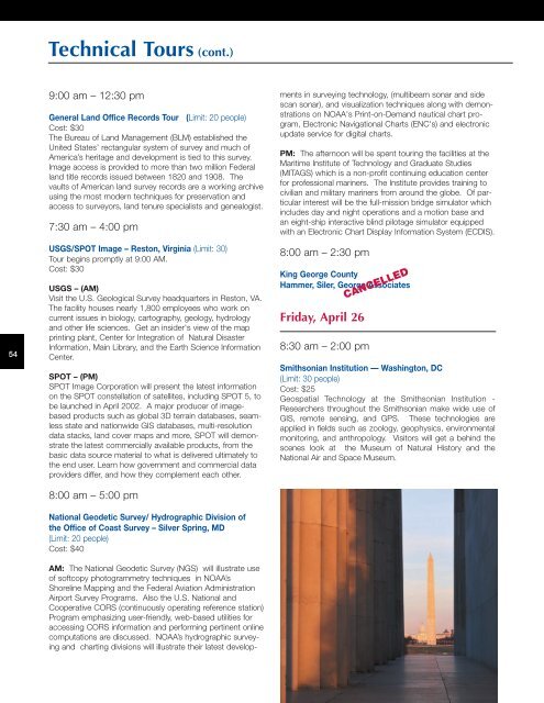
Smithsonian Institution — Washington, DC<br />
(Limit: 30 people)<br />
Cost: $25<br />
Geospatial Technology at the Smithsonian Institution -<br />
Researchers throughout the Smithsonian make wide use of<br />
GIS, remote sensing, and GPS. These technologies are<br />
applied in fields such as zoology, geophysics, environmental<br />
monitoring, and anthropology. Visitors will get a behind the<br />
scenes look at the Museum of Natural History and the<br />
National Air and Space Museum.


