Create successful ePaper yourself
Turn your PDF publications into a flip-book with our unique Google optimized e-Paper software.
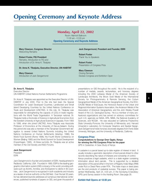
Opening Ceremony and Keynote Address<br />
Mary Clawson, Congress Director<br />
Welcoming Remarks<br />
Robert Foster, <strong>FIG</strong> President<br />
Remarks, Introduction to <strong>FIG</strong> and<br />
Introduction of Dr. Anna K. Tibaijuka<br />
Dr. Anna K. Tibaijuka, Executive Director, UN-HABITAT<br />
Mary Clawson<br />
Introduction of Jack Dangermond<br />
Dr. Anna K. Tibaijuka<br />
Executive Director<br />
UN-HABITAT United Nations Human Settlements Programme<br />
Dr. Anna K. Tibaijuka was appointed as the Executive Director of UN-<br />
HABITAT in July 2000. Prior to this she had been the Special<br />
Coordinator for Least Developed Countries, Landlocked and Small<br />
Island Developing Countries for the United Nations Conference on<br />
Trade and Development (UNCTAD). In this role, Dr. Tibaijuka was<br />
responsible for strengthening the capacity of LDCs in trade negotiations<br />
with the World Trade Organisation. A Tanzanian national, Dr.<br />
Tibaijuka holds a Doctorate of Science in Agricultural Economics from<br />
the Swedish University of Agricultural Sciences in Uppsala. From 1993<br />
to 1998, when she joined UNCTAD, Anna Tibaijuka was Associate<br />
Professor of Economics at the University of Dar-es-Salaam. During<br />
this period she was also a member of the Tanzanian Government delegation<br />
to several United Nations Summits including the United<br />
Nations Conference on Human Settlements (Istanbul, 1996); the<br />
World Food Summit (Rome 1996); the Fourth World Conference on<br />
Women (Beijing 1995) and the World Summit for Social Development<br />
(Copenhagen, 1995). At these summits, Dr. Tibaijuka was an active<br />
member of the Civil Society and NGO Forums.<br />
Jack Dangermond<br />
President<br />
ESRI<br />
Jack Dangermond is founder and president of ESRI, headquartered in<br />
Redlands, California, USA. Founded in 1969, ESRI is the leading geographic<br />
information system (GIS) company in the world, providing software<br />
such as ArcInfo, ArcView, and ArcExplorer to clients in 90 countries.<br />
Jack Dangermond is recognized in both academia and industry<br />
as a leader of and an authority on the GIS field. Over the last 30 years,<br />
he has delivered keynote addresses at numerous international conferences,<br />
published hundreds of papers on GIS, and given thousands of<br />
Monday, April 22, 2002<br />
Room: Marriott Ballroom<br />
11:00 am –12:30 pm<br />
Opening Ceremony and Keynote Address<br />
Jack Dangermond, President and Founder, ESRI<br />
Robert Foster<br />
Thank You to Speakers<br />
Robert Foster<br />
Presentation of Congress Prize<br />
Mary Clawson<br />
Closing Remarks<br />
Declare Congress and Exhibition Open<br />
presentations on GIS throughout the world. He is the recipient of a<br />
number of medals, awards, lectureships, and honorary degrees<br />
including the 2000 LaGasse Medal of the American Society of<br />
Landscape Architects, the Brock Gold Medal of the International<br />
Society for Photogrammetry & Remote Sensing, the Cullum<br />
Geographical Medal of the American Geographical Society, the EDU-<br />
CAUSE Medal of EduCause, the Horwood Award of the Urban and<br />
Regional Information Systems Association, the Anderson Medal of the<br />
Association of American Geographers, and the John Wesley Powell<br />
Award of the U.S. Geological Survey. He is a member of many professional<br />
organizations and has served on advisory committees for<br />
such U.S. agencies as NASA, EPA, NIMA, the National Academy of<br />
Sciences, and NCGIA. He was educated at California Polytechnic<br />
State University-Pomona; the University of Minnesota; and, Harvard<br />
University's Laboratory for Computer Graphics and Spatial Design.<br />
Jack Dangermond holds honorary doctorate degrees from Ferris State<br />
University, Michigan, and the University of Redlands, California.<br />
Congress Prize<br />
Congratulations to George Oner Ogalo, Kenya<br />
for winning the <strong>FIG</strong> Congress Prize for his paper<br />
GPS in Cadastres: A Case Study of Kenya<br />
A cadastre is a parcel based up-to-date register of interest in land. It<br />
usually includes a geometric description of land parcels linked to other<br />
records describing the nature of interests and ownership of control.<br />
Kenya practices a legal cadastre, which is a state register containing<br />
information about land parcels. This is supported by a detailed<br />
description of the parcel either in the form of Registry Index Maps (RIM)<br />
under RLA or Deed Plans under RTA. The index maps or deed plans<br />
are the end products of cadastral surveys. This paper is being presented<br />
Wednesday, April 24, 4:00 pm, in the Surveying & Geodesy:<br />
GPS Land Survey session in the Harding Room. See page 29.<br />
Exhibit Hall Opens at 12:30 pm<br />
9


