US Army - FM 21-31 - Topographic Symbols.pdf
US Army - FM 21-31 - Topographic Symbols.pdf
US Army - FM 21-31 - Topographic Symbols.pdf
Create successful ePaper yourself
Turn your PDF publications into a flip-book with our unique Google optimized e-Paper software.
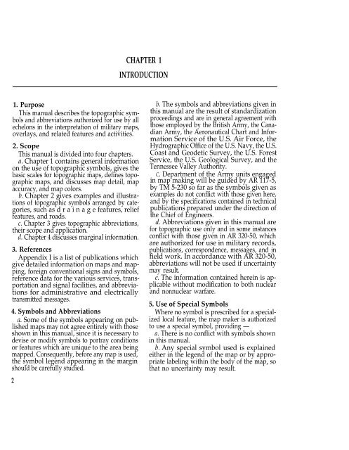
1. Purpose<br />
This manual describes the topographic symbols<br />
and abbreviations authorized for use by all<br />
echelons in the interpretation of military maps,<br />
overlays, and related features and activities.<br />
2. Scope<br />
This manual is divided into four chapters.<br />
a. Chapter 1 contains general information<br />
on the use of topographic symbols, gives the<br />
basic scales for topographic maps, defines topographic<br />
maps, and discusses map detail, map<br />
accuracy, and map colors.<br />
b. Chapter 2 gives examples and illustrations<br />
of topographic symbols arranged by categories,<br />
such as d r a i n a g e features, relief<br />
features, and roads.<br />
c. Chapter 3 gives topographic abbreviations,<br />
their scope and application.<br />
d. Chapter 4 discusses marginal information.<br />
3. References<br />
Appendix I is a list of publications which<br />
give detailed information on maps and mapping,<br />
foreign conventional signs and symbols,<br />
reference data for the various services, transportation<br />
and signal facilities, and abbreviations<br />
for administrative and electrically<br />
transmitted messages.<br />
4. <strong>Symbols</strong> and Abbreviations<br />
a. Some of the symbols appearing on published<br />
maps may not agree entirely with those<br />
shown in this manual, since it is necessary to<br />
devise or modify symbols to portray conditions<br />
or features which are unique to the area being<br />
mapped. Consequently, before any map is used,<br />
the symbol legend appearing in the margin<br />
should be carefully studied.<br />
2<br />
CHAPTER 1<br />
INTRODUCTION<br />
b. The symbols and abbreviations given in<br />
this manual are the result of standardization<br />
proceedings and are in general agreement with<br />
those employed by the British <strong>Army</strong>, the Canadian<br />
<strong>Army</strong>, the Aeronautical Chart and Information<br />
Service of the U.S. Air Force, the<br />
Hydrographic Office of the U.S. Navy, the U.S.<br />
Coast and Geodetic Survey, the U.S. Forest<br />
Service, the U.S. Geological Survey, and the<br />
Tennessee Valley Authority.<br />
C. Department of the <strong>Army</strong> units engaged<br />
in map making will be guided by AR 117-5,<br />
by TM 5-230 so far as the symbols given as<br />
examples do not conflict with those given here,<br />
and by the specifications contained in technical<br />
publications prepared under the direction of<br />
the Chief of Engineers.<br />
d. Abbreviations given in this manual are<br />
for topographic use only and in some instances<br />
conflict with those given in AR 320-50, which<br />
are authorized for use in military records,<br />
publications, correspondence, messages, and in<br />
field work. In accordance with AR 320-50,<br />
abbreviations will not be used if uncertainty<br />
may result.<br />
e. The information contained herein is applicable<br />
without modification to both nuclear<br />
and nonnuclear warfare.<br />
5. Use of Special <strong>Symbols</strong><br />
Where no symbol is prescribed for a specialized<br />
local feature, the map maker is authorized<br />
to use a special symbol, providing —<br />
a. There is no conflict with symbols shown<br />
in this manual.<br />
b. Any special symbol used is explained<br />
either in the legend of the map or by appropriate<br />
labeling within the body of the map, so<br />
that no uncertainty may result.


