Highland Park Dam Mitigation Project Appendix C - Partners for ...
Highland Park Dam Mitigation Project Appendix C - Partners for ...
Highland Park Dam Mitigation Project Appendix C - Partners for ...

You also want an ePaper? Increase the reach of your titles
YUMPU automatically turns print PDFs into web optimized ePapers that Google loves.
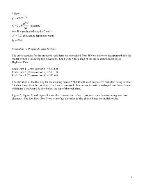
* Note:<br />
Q = CbH<br />
3/ 2<br />
ft<br />
0.5<br />
C = 3.33 (assumed)<br />
sec<br />
b = 59 ft (estimated length of weir)<br />
H = 0.23 ft (average depth over weir)<br />
Q = 22cfs<br />
Evaluation of Proposed Cross-Sections<br />
The cross-sections <strong>for</strong> the proposed rock dams were received from JFNew and were incorporated into the<br />
model with the following top elevations. See Figure 5 <strong>for</strong> a map of the cross-section locations in<br />
<strong>Highland</strong> <strong>Park</strong>.<br />
Rock <strong>Dam</strong> 1 (Cross-section 6) = 573.6 ft<br />
Rock <strong>Dam</strong> 2 (Cross-section 7) = 573.1 ft<br />
Rock <strong>Dam</strong> 3 (Cross-section 8) = 572.6 ft<br />
The elevation of the thalweg <strong>for</strong> the existing dam is 574.1 ft with each successive rock dam being another<br />
6 inches lower than the previous. Each rock dam would be constructed with a v-shaped low flow channel<br />
which has a thalweg 0.75 feet below the top of the rock dam.<br />
Figure 6, Figure 7, and Figure 8 show the cross-section of each proposed rock dam including low flow<br />
channels. The low flow (30 cfs) water surface elevation is also shown based on model results.<br />
9