A Guide To Paddling in the Big South Fork - National Park Service
A Guide To Paddling in the Big South Fork - National Park Service
A Guide To Paddling in the Big South Fork - National Park Service
You also want an ePaper? Increase the reach of your titles
YUMPU automatically turns print PDFs into web optimized ePapers that Google loves.
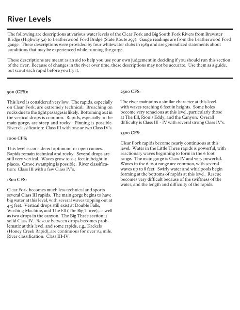
River Levels<br />
The follow<strong>in</strong>g are descriptions at various water levels of <strong>the</strong> Clear <strong>Fork</strong> and <strong>Big</strong> <strong>South</strong> <strong>Fork</strong> Rivers from Brewster<br />
Bridge (Highway 52) to Lea<strong>the</strong>rwood Ford Bridge (State Route 297). Gauge read<strong>in</strong>gs are from <strong>the</strong> Lea<strong>the</strong>rwood Ford<br />
gauge. These descriptions were provided by four whitewater clubs <strong>in</strong> 1989 and are generalized statements about<br />
conditions that may be experienced while runn<strong>in</strong>g <strong>the</strong> gorge.<br />
These descriptions are meant as an aid to help you use your own judgement <strong>in</strong> decid<strong>in</strong>g if you should run this section<br />
of <strong>the</strong> river. Because of changes <strong>in</strong> <strong>the</strong> river over time, <strong>the</strong>se descriptions may not be accurate. Use <strong>the</strong>m as a guide,<br />
but scout each rapid before you try it.<br />
500 (CFS):<br />
This level is considered very low. The rapids, especially<br />
on Clear <strong>Fork</strong>, are extremely technical. Broach<strong>in</strong>g on<br />
rocks due to <strong>the</strong> tight passages is likely. Bottom<strong>in</strong>g out <strong>in</strong><br />
<strong>the</strong> vertical drops is common. Rapids, especially <strong>in</strong> <strong>the</strong><br />
ma<strong>in</strong> gorge, are steep and rocky. P<strong>in</strong>n<strong>in</strong>g is possible.<br />
River classification: Class III with one or two Class IV’s.<br />
1000 CFS:<br />
This level is considered optimum for open canoes.<br />
Rapids rema<strong>in</strong> technical and rocky. Several drops are<br />
still very vertical. Waves grow to 2-4 feet <strong>in</strong> height <strong>in</strong><br />
places. Canoe swamp<strong>in</strong>g is possible. River classification:<br />
Class III with a few Class IV’s.<br />
1800 CFS:<br />
Clear <strong>Fork</strong> becomes much less technical and sports<br />
several Class III rapids. The ma<strong>in</strong> gorge beg<strong>in</strong>s to have<br />
big water at this level, with several waves topp<strong>in</strong>g out at<br />
4-5 feet. Vertical drops still exist at Double Falls,<br />
Wash<strong>in</strong>g Mach<strong>in</strong>e, and The Ell (The <strong>Big</strong> Three), as well<br />
as two drops <strong>in</strong> <strong>the</strong> canyon. The <strong>Big</strong> Three section is<br />
solid Class IV. Rescue between drops becomes problematic<br />
at this level, and some rapids, e.g., Krekels<br />
(Honey Creek Rapid), are cont<strong>in</strong>uous for over 1/4 mile.<br />
River classification: Class III-IV.<br />
2500 CFS:<br />
The river ma<strong>in</strong>ta<strong>in</strong>s a similar character at this level,<br />
with waves reach<strong>in</strong>g 6 feet <strong>in</strong> heights. Some holes<br />
become very tenacious at this level, particularly those<br />
at The Ell, Rion’s Eddy, and <strong>the</strong> Canyon. Overall<br />
difficulty is Class III - IV with several strong Class IV’s.<br />
3500 CFS:<br />
Clear <strong>Fork</strong> rapids become nearly cont<strong>in</strong>uous at this<br />
level. Water <strong>in</strong> <strong>the</strong> Little Three rapids is powerful, with<br />
reactionary waves beg<strong>in</strong>n<strong>in</strong>g to form <strong>in</strong> <strong>the</strong> 6 foot<br />
range. The ma<strong>in</strong> gorge is Class IV and very powerful.<br />
Waves <strong>in</strong> <strong>the</strong> 6 foot range are common, with several<br />
waves up to 8 feet. Swirly water and whirlpools beg<strong>in</strong><br />
form<strong>in</strong>g at <strong>the</strong> bottoms of rapids at this level. Rescue<br />
becomes very difficult because of <strong>the</strong> swiftness of <strong>the</strong><br />
water, and <strong>the</strong> length and difficulty of <strong>the</strong> rapids.


