A Guide To Paddling in the Big South Fork - National Park Service
A Guide To Paddling in the Big South Fork - National Park Service
A Guide To Paddling in the Big South Fork - National Park Service
You also want an ePaper? Increase the reach of your titles
YUMPU automatically turns print PDFs into web optimized ePapers that Google loves.
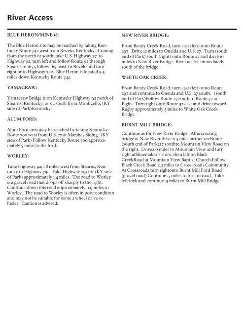
River Access<br />
BLUE HERON/MINE 18:<br />
The Blue Heron site may be reached by tak<strong>in</strong>g Kentucky<br />
Route 742 west from Revelo, Kentucky. Com<strong>in</strong>g<br />
from <strong>the</strong> north or south, take U.S. Highway 27 to<br />
Highway 92, turn left and follow Route 92 through<br />
Stearns to 1651, follow 1651 east to Revelo and turn<br />
right onto Highway 742. Blue Heron is located 9.5<br />
miles down Kentucky Route 742.<br />
YAMACRAW:<br />
Yamacraw Bridge is on Kentucky Highway 92 north of<br />
Stearns, Kentucky, or 92 south from Monticello, (KY<br />
side of <strong>Park</strong>)Kentucky.<br />
ALUM FORD:<br />
Alum Ford area may be reached by tak<strong>in</strong>g Kentucky<br />
Route 700 west from U.S. 27 at Marshes Sid<strong>in</strong>g. (KY<br />
side of <strong>Park</strong>) Follow Kentucky Route 700 approximately<br />
5 miles to <strong>the</strong> ford.<br />
WORLEY:<br />
Take Highway 92, 1.8 miles west from Stearns, Kentucky<br />
to Highway 791. Take Highway 791 for (KY side<br />
of <strong>Park</strong>) approximately 1.4 miles. The road to Worley<br />
is a gravel road that drops off sharply to <strong>the</strong> right.<br />
Cont<strong>in</strong>ue down this road approximately 0.9 miles to<br />
Worley. The road to Worley is often <strong>in</strong> poor condition<br />
and may not be suitable for some 2 wheel drive vehicles.<br />
Caution is advised.<br />
NEW RIVER BRIDGE:<br />
From Bandy Creek Road, turn east (left) onto Route<br />
297. Drive 12 miles to Oneida and U.S. 27. Turn (south<br />
end of <strong>Park</strong>) south (right) onto Route 27 and drive 10<br />
miles to New River Bridge. River access immediately<br />
south of <strong>the</strong> bridge.<br />
WHITE OAK CREEK:<br />
From Bandy Creek Road, turn east (left) onto Route<br />
297 and cont<strong>in</strong>ue to Oneida and U.S. 27 south. (south<br />
end of <strong>Park</strong>)Follow Route 27 south to Route 52 <strong>in</strong><br />
Elg<strong>in</strong>. Turn right onto Route 52 east and drive toward<br />
Rugby approximately 5 miles to White Oak Creek<br />
Bridge.<br />
BURNT MILL BRIDGE:<br />
Cont<strong>in</strong>ue as for New River Bridge. Aftercross<strong>in</strong>g<br />
bridge at New River drive 0.5 milesfar<strong>the</strong>r on Route<br />
(south end of <strong>Park</strong>)27 southto Mounta<strong>in</strong> View Road on<br />
<strong>the</strong> right. Drive2.0 miles to Mounta<strong>in</strong> View and turn<br />
right atShoemaker’s store, <strong>the</strong>n left on Black<br />
CreekRoad at Mounta<strong>in</strong> View Baptist Church.Follow<br />
Black Creek Road 2.3 miles to Cross-roads Community.<br />
At Crossroads turn rightonto Burnt Mill Ford Road<br />
(gravel road).Cont<strong>in</strong>ue .5 miles to fork <strong>in</strong> road. Take<br />
left fork and cont<strong>in</strong>ue .5 miles to Burnt Mill Bridge.


