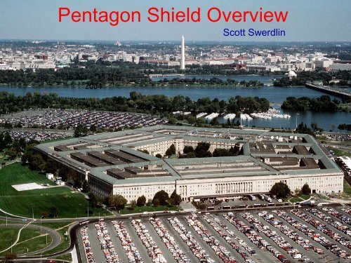
Pentagon Shield Overview
Pentagon Shield Overview
Pentagon Shield Overview

Create successful ePaper yourself
Turn your PDF publications into a flip-book with our unique Google optimized e-Paper software.
<strong>Pentagon</strong> <strong>Shield</strong> <strong>Overview</strong><br />
Scott Swerdlin<br />
15 Apr – 15 May<br />
2004
The <strong>Pentagon</strong> <strong>Shield</strong> program is<br />
sponsored by the<br />
Defense Advanced Research<br />
Projects Agency (DARPA)<br />
Special Projects Office (SPO)<br />
Program Manager: Paul Benda
<strong>Pentagon</strong> <strong>Shield</strong> Elements<br />
• Implement multiple scales of modeling with<br />
CBR sensors to enhance building protection<br />
scheme<br />
• Fast-forward CBR/TIC event in progress,<br />
predict contaminants on building surface,<br />
reverse-locate source<br />
• Verify with field data, wind-tunnel study<br />
• Implement operational system by end of<br />
FY05 on > 90 Linux dual-proc nodes
Modeling element: RT-FDDA<br />
regional- and local-scale<br />
MM5-based RT-FDDA<br />
res: regional -> 500 m<br />
analysis + 6 h fcst<br />
update every 2 hrs
Real-time Four-Dimensional<br />
Data Assimilation (RT-FDDA)<br />
ETA/GFS/<br />
ECMWF<br />
OBS<br />
New forecast every N hours,<br />
taking in all new obs*<br />
MM5<br />
Cold<br />
start<br />
FDDA<br />
t<br />
Analysis<br />
Forecast<br />
Forecast<br />
*radiosonde, profiler, surface,<br />
ACARS, cloud track winds,<br />
satellite radiance, radar, VDRAS,<br />
VLAS
Metro- and local-scale<br />
Radar-based 4DVAR<br />
res: 1 km<br />
analysis + 30 min fcst<br />
update every 10 mins<br />
Lidar-based 4DVAR<br />
res: 75 m<br />
analysis + 30 min fcst<br />
update every 15 mins
Modeling element: VDRAS<br />
Metropolitan scale<br />
WSR-88D<br />
Radial winds every 6<br />
minutes, full volume<br />
scan<br />
radar<br />
mesonet<br />
station
Major processes of VDRAS<br />
Data Ingest<br />
• Rawinsondes<br />
• Profilers<br />
• Mesonet<br />
• Doppler radars<br />
Data Preprocessing<br />
• Quality control<br />
• Interpolation<br />
• Background analysis<br />
• First Guess<br />
Display<br />
• Plots and images<br />
• Animations<br />
• Diagnostics and statistics<br />
4DVAR Assimilation<br />
Cloud-scale model<br />
Adjoint model<br />
Cost function<br />
Weighting specification<br />
Minimization<br />
• Input obs into cloud model<br />
• Compare solution to obs<br />
• Compute model adjoint<br />
• Compute cost function,<br />
apply to IC’s, re-run forward
VDRAS winds for<br />
Washington D.C. area
Coupling VDRAS to T&D<br />
model<br />
Wash.<br />
D.C.<br />
1557 LT<br />
release<br />
Release height – 10 m<br />
1 kg inert, nonbuoyant gas<br />
15 June 1998<br />
1629 LT<br />
release
Building-scale<br />
CFD, res: 2 m<br />
update with VLAS cycle<br />
NOAA/EPA 1:200 scale<br />
wind-tunnel model<br />
Courtesy CFD<br />
Research Corp.<br />
Courtesy<br />
NOAA/EPA
Field Campaign<br />
15 Apr – 15 May<br />
• Characterize local weather, urban<br />
boundary layer, tracer gas flows in and<br />
around <strong>Pentagon</strong>, and evaluate chem<br />
sensors<br />
• Use this information to optimize<br />
operational protection system and<br />
evacuation procedures
Participants<br />
• DARPA Program Manager<br />
• NCAR<br />
Planning, test direction, logistics,<br />
aerosol lidar demo, experiment design,<br />
FP plan<br />
• U of CO Turbulence profiling<br />
• Dugway Met instrumentation, forecast<br />
support for SF6 tracer study<br />
• NOAA<br />
• NSWC<br />
• ACE<br />
SF6 tracer study and sampling<br />
Operational support<br />
Engineering and contract support
Participants (cont)<br />
•ARL<br />
• Aerospace, Inc<br />
Edgewood,<br />
NGC<br />
2 nd Doppler lidar<br />
FTIR sensor
1-12 May:<br />
32 line releases<br />
12 point releases