local park grant program - Texas Parks & Wildlife Department
local park grant program - Texas Parks & Wildlife Department
local park grant program - Texas Parks & Wildlife Department
Create successful ePaper yourself
Turn your PDF publications into a flip-book with our unique Google optimized e-Paper software.
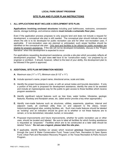
LOCAL PARK GRANT PROGRAM<br />
SITE PLAN AND FLOOR PLAN INSTRUCTIONS<br />
I. ALL APPLICATIONS MUST INCLUDE A DEVLOPMENT SITE PLAN.<br />
Applications involving enclosed structures including pool bathhouses, restrooms, concession<br />
stands, storage buildings, and entrance stations must include a schematic floor plan.<br />
Even if the application process proposes to only acquire land and does not include a request for<br />
development, a conceptual site plan is still needed. The conceptual plan should indicate how and<br />
where the site is to be developed for public recreation use and for other non-recreation uses, if<br />
applicable. If non-recreation uses are planned or anticipated, such areas/ facilities should be<br />
identified on the conceptual site plan. Only land and facilities to be utilized for public recreation are<br />
eligible for <strong>program</strong> assistance. If the site will not be developed immediately, discuss in the “Project<br />
Narrative” when this development is expected to occur<br />
For applications requesting development assistance, provide a site plan which accurately reflects all<br />
development proposed. The plan does not have to be “construction ready,” nor prepared by an<br />
engineer or architect. It should, however, reflect to the best of your ability, the development plan to<br />
be followed if the <strong>grant</strong> is approved.<br />
II. ADDITIONAL SITE PLAN INFORMATION NEEDED<br />
A. Maximum size (11” x 17”), Minimum size (8 1/2” x 11”)<br />
B. Include sponsor’s name, project name, directional arrow, scale and date.<br />
C. Identify the project boundaries to scale, or with an actual metes and bounds description. If only<br />
a portion of the <strong>park</strong> is proposed for development assistance, identify the area to be assisted<br />
and include an ingress/egress way for the public to gain access to those facilities which receive<br />
<strong>program</strong> assistance.<br />
D. Identify significant natural features such as tree lines, water bodies, tributaries, geologic<br />
features, floodway and floodplain areas, etc. (label and/or provide a key when appropriate.)<br />
E. Identify man-made features such as structures, utilities, easements, pipelines, internal and<br />
adjacent roads, all overhead utility lines on and adjacent to the site(s), known<br />
historic/archaeological sites, existing facilities, etc. Such man-made features should be labeled<br />
as “existing” and an indication should be given as to whether or not these features are to<br />
remain, or to be demolished, relocated, buried, or renovated.<br />
F. Proposed improvements and future improvements, whether for public recreation use or other<br />
uses, should be located and labeled. Be sure to label all facilities for which funding assistance<br />
is requested as “proposed.” Facilities which are to be constructed at a later date should be<br />
labeled “future.” Do not use a legend, please label the site plan.<br />
G. If applicable, identify facilities (or areas) which received previous <strong>Department</strong> assistance<br />
through the Land & Water Conservation Fund; <strong>Texas</strong> Local Park, Recreation & Open Space<br />
Fund; Urban Park and Recreation Recovery Program; or the <strong>Texas</strong> Recreation & <strong>Parks</strong> Account<br />
Program.<br />
PWD 1071 – P4000 (12/10)<br />
39


