Options for Improving Climate Modeling to Assist Water Utility ...
Options for Improving Climate Modeling to Assist Water Utility ...
Options for Improving Climate Modeling to Assist Water Utility ...
You also want an ePaper? Increase the reach of your titles
YUMPU automatically turns print PDFs into web optimized ePapers that Google loves.
<strong>Water</strong> <strong>Utility</strong> <strong>Climate</strong> Alliance White Paper<br />
<strong>Options</strong> <strong>for</strong> <strong>Improving</strong> <strong>Climate</strong> <strong>Modeling</strong> <strong>to</strong> <strong>Assist</strong> <strong>Water</strong> <strong>Utility</strong> Planning <strong>for</strong> <strong>Climate</strong> Change<br />
<br />
<br />
<br />
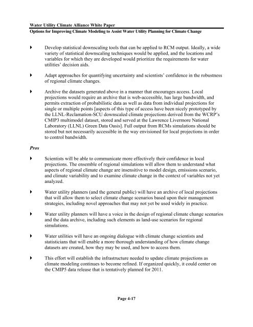
Develop statistical downscaling <strong>to</strong>ols that can be applied <strong>to</strong> RCM output. Ideally, a wide<br />
variety of statistical downscaling techniques would be applied, and the locations and<br />
variables <strong>for</strong> which they are developed would prioritize the requirements <strong>for</strong> water<br />
utilities’ decision aids.<br />
Adapt approaches <strong>for</strong> quantifying uncertainty and scientists’ confidence in the robustness<br />
of regional climate changes.<br />
Archive the datasets generated above in a manner that encourages access. Local<br />
projections would require an archive that is web-accessible, has large bandwidth, and<br />
permits extraction of probabilistic data as well as data from individual projections <strong>for</strong><br />
single or multiple points [aspects of this type of access have been nicely pro<strong>to</strong>typed by<br />
the LLNL-Reclamation-SCU downscaled climate projections derived from the WCRP’s<br />
CMIP3 multimodel dataset, s<strong>to</strong>red and served at the Lawrence Livermore National<br />
Labora<strong>to</strong>ry (LLNL) Green Data Oasis]. Full output from RCMs simulations should be<br />
s<strong>to</strong>red but not necessarily accessible in the way envisioned <strong>for</strong> local projections in order<br />
<strong>to</strong> control bandwidth.<br />
Pros<br />
<br />
<br />
<br />
<br />
<br />
Scientists will be able <strong>to</strong> communicate more effectively their confidence in local<br />
projections. The ensemble of regional simulations will allow them <strong>to</strong> understand what<br />
aspects of regional climate change are insensitive <strong>to</strong> model design, emissions scenario,<br />
and climate variability and <strong>to</strong> examine climate change in the context of variables not yet<br />
analyzed.<br />
<strong>Water</strong> utility planners (and the general public) will have an archive of local projections<br />
that will allow them <strong>to</strong> select climate change scenarios based upon their management<br />
strategies, including novel approaches that may not yet be used widely in practice.<br />
<strong>Water</strong> utility planners will have a voice in the design of regional climate change scenarios<br />
and the data archive, including such elements as land-use scenarios <strong>for</strong> regional<br />
simulations.<br />
<strong>Water</strong> utilities will have an ongoing dialogue with climate change scientists and<br />
statisticians that will enable a more thorough understanding of how climate change<br />
datasets are created, how they may be used, and how <strong>to</strong> access them.<br />
This ef<strong>for</strong>t will establish the infrastructure needed <strong>to</strong> update climate projections as<br />
climate modeling continues <strong>to</strong> become refined. If organized quickly, it could center on<br />
the CMIP5 data release that is tentatively planned <strong>for</strong> 2011.<br />
Page 4-17


