Options for Improving Climate Modeling to Assist Water Utility ...
Options for Improving Climate Modeling to Assist Water Utility ...
Options for Improving Climate Modeling to Assist Water Utility ...
You also want an ePaper? Increase the reach of your titles
YUMPU automatically turns print PDFs into web optimized ePapers that Google loves.
<strong>Water</strong> <strong>Utility</strong> <strong>Climate</strong> Alliance White Paper<br />
<strong>Options</strong> <strong>for</strong> <strong>Improving</strong> <strong>Climate</strong> <strong>Modeling</strong> <strong>to</strong> <strong>Assist</strong> <strong>Water</strong> <strong>Utility</strong> Planning <strong>for</strong> <strong>Climate</strong> Change<br />
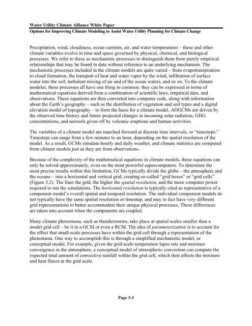
Precipitation, wind, cloudiness, ocean currents, air, and water temperatures – these and other<br />
climate variables evolve in time and space governed by physical, chemical, and biological<br />
processes. We refer <strong>to</strong> these as mechanistic processes <strong>to</strong> distinguish them from purely empirical<br />
relationships that may be found in data without reference <strong>to</strong> an underlying mechanism. The<br />
mechanistic processes included in the climate models are quite varied – from evapotranspiration<br />
<strong>to</strong> cloud <strong>for</strong>mation, the transport of heat and water vapor by the wind, infiltration of surface<br />
water in<strong>to</strong> the soil, turbulent mixing of air and of the ocean waters, and so on. To the climate<br />
modeler, these processes all have one thing in common: they can be expressed in terms of<br />
mathematical equations derived from a combination of scientific laws, empirical data, and<br />
observations. These equations are then converted in<strong>to</strong> computer code, along with in<strong>for</strong>mation<br />
about the Earth’s geography – such as the distribution of vegetation and soil types and a digital<br />
elevation model of <strong>to</strong>pography – <strong>to</strong> <strong>for</strong>m the basis <strong>for</strong> a climate model. AOGCMs are driven by<br />
the observed time his<strong>to</strong>ry and future projected changes in incoming solar radiation, GHG<br />
concentrations, and aerosols given off by volcanic eruptions and human activities.<br />
The variables of a climate model are marched <strong>for</strong>ward at discrete time intervals, or “timesteps.”<br />
Timesteps can range from a few minutes <strong>to</strong> an hour, depending on the spatial resolution of the<br />
model. As a result, GCMs simulate hourly and daily weather, and climate statistics are computed<br />
from climate models just as they are from observations.<br />
Because of the complexity of the mathematical equations in climate models, these equations can<br />
only be solved approximately, even on the most powerful supercomputers. To determine the<br />
most precise results within this limitation, GCMs typically divide the globe – the atmosphere and<br />
the oceans – in<strong>to</strong> a horizontal and vertical grid, creating so-called “grid boxes” or “grid cells”<br />
(Figure 3.2). The finer the grid, the higher the spatial resolution, and the more computer power<br />
required <strong>to</strong> run the simulations. The horizontal resolution is typically cited as representative of a<br />
component model’s overall spatial and temporal resolution. The individual component models do<br />
not typically have the same spatial resolution or timestep, and may in fact have very different<br />
grid representations <strong>to</strong> better accommodate their unique physical processes. These differences<br />
are taken in<strong>to</strong> account when the components are coupled.<br />
Many climate phenomena, such as thunders<strong>to</strong>rms, take place at spatial scales smaller than a<br />
model grid cell – be it in a GCM or even a RCM. The idea of parameterization is <strong>to</strong> account <strong>for</strong><br />
the effect that small-scale processes have within the grid cell through a representation of the<br />
phenomena. One way <strong>to</strong> accomplish this is through a simplified mechanistic model, or<br />
conceptual model. For example, given the grid-scale temperature lapse rate and moisture<br />
convergence in the atmosphere, a conceptual model of atmospheric convection can compute the<br />
expected <strong>to</strong>tal amount of convective rainfall within the grid cell, which then affects the moisture<br />
and heat fluxes at the grid scale.<br />
Page 3-3


