o - Waste Isolation Pilot Plant
o - Waste Isolation Pilot Plant
o - Waste Isolation Pilot Plant
You also want an ePaper? Increase the reach of your titles
YUMPU automatically turns print PDFs into web optimized ePapers that Google loves.
u<br />
o<br />
o<br />
o<br />
o<br />
o<br />
o<br />
o<br />
o<br />
o<br />
o<br />
o<br />
o<br />
o<br />
o<br />
o<br />
o<br />
o<br />
o<br />
(Powers; October28, 1997)<br />
(Geology ofPiezometerHoles)<br />
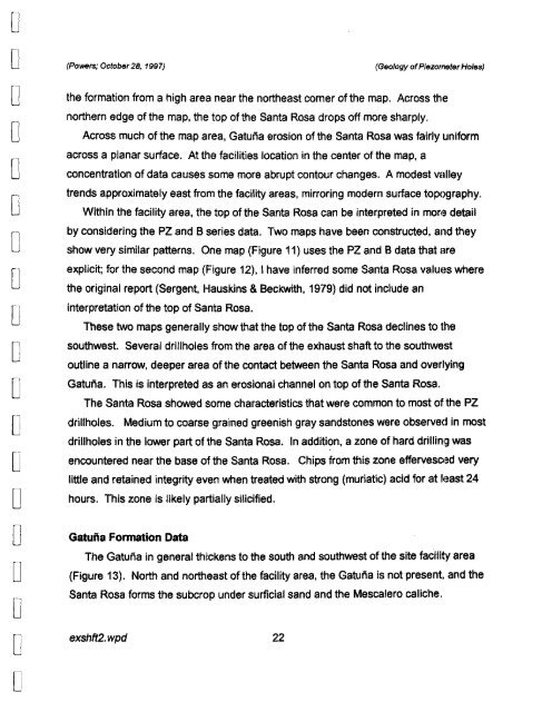
the formation from a high area near the northeast corner of the map. Across the<br />
northern edge of the map, the top of the Santa Rosa drops off more sharply.<br />
Across much of the map area. Gatuiia erosion of the Santa Rosa was fairly uniform<br />
across a planar surface. At the facilities location in the center of the map, a<br />
concentration of data causes some more abrupt contour changes. A modest valley<br />
trends approximately east from the facility areas, mirroring modern surface topography.<br />
Within the facility area, the top of the Santa Rosa can be interpreted in mOff3 detail<br />
by considering the PZ and B series data. Two maps have been constructed, and they<br />
show very similar patterns. One map (Figure 11) uses the PZ and B data that are<br />
explicit; for the second map (Figure 12), I have inferred some Santa Rosa valUllS where<br />
the original report (Sergent. Hauskins & Beckwith, 1979) did not include an<br />
interpretation of the top of Santa Rosa.<br />
These two maps generally show that the top of the Santa Rosa declines to the<br />
southwest. Several drillholes from the area of the exhaust shaft to the southwest<br />
outline a narrow, deeper area of the contact between the Santa Rosa and overlying<br />
Gatuiia. This is interpreted as an erosional channel on top of the Santa Rosa.<br />
The Santa Rosa showed some characteristics that were common to most of the PZ<br />
drillholes. Medium to coarse grained greenish gray sandstones were observed in most<br />
drillholes in the lower part of the Santa Rosa. In addition, a zone of hard drillinl~ was<br />
encountered near the base of the Santa Rosa. Chips from this zone effervescl3d very<br />
little and retained integrity even when treated with strong (muriatic) acid for at 113ast 24<br />
hours. This zone is likely partially silicified.<br />
Gatuna Formation Data<br />
The Gatuiia in general thickens to the south and southwest of the site facilitv area<br />
(Figure 13). North and northeast ofthe facility area, the Gatuiia is not present, and the<br />
Santa Rosa forms the subcrop under surficial sand and the Mescalero caliche.<br />
exshft2. wpd 22


