Digital Climatic Atlas of Texas - Texas Water Development Board
Digital Climatic Atlas of Texas - Texas Water Development Board
Digital Climatic Atlas of Texas - Texas Water Development Board
You also want an ePaper? Increase the reach of your titles
YUMPU automatically turns print PDFs into web optimized ePapers that Google loves.
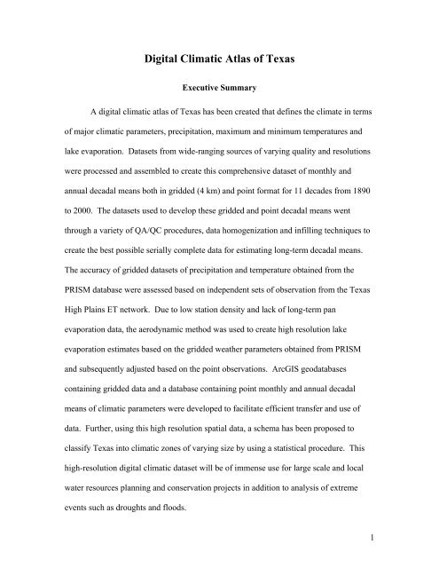
<strong>Digital</strong> <strong>Climatic</strong> <strong>Atlas</strong> <strong>of</strong> <strong>Texas</strong><br />
Executive Summary<br />
A digital climatic atlas <strong>of</strong> <strong>Texas</strong> has been created that defines the climate in terms<br />
<strong>of</strong> major climatic parameters, precipitation, maximum and minimum temperatures and<br />
lake evaporation. Datasets from wide-ranging sources <strong>of</strong> varying quality and resolutions<br />
were processed and assembled to create this comprehensive dataset <strong>of</strong> monthly and<br />
annual decadal means both in gridded (4 km) and point format for 11 decades from 1890<br />
to 2000. The datasets used to develop these gridded and point decadal means went<br />
through a variety <strong>of</strong> QA/QC procedures, data homogenization and infilling techniques to<br />
create the best possible serially complete data for estimating long-term decadal means.<br />
The accuracy <strong>of</strong> gridded datasets <strong>of</strong> precipitation and temperature obtained from the<br />
PRISM database were assessed based on independent sets <strong>of</strong> observation from the <strong>Texas</strong><br />
High Plains ET network. Due to low station density and lack <strong>of</strong> long-term pan<br />
evaporation data, the aerodynamic method was used to create high resolution lake<br />
evaporation estimates based on the gridded weather parameters obtained from PRISM<br />
and subsequently adjusted based on the point observations. ArcGIS geodatabases<br />
containing gridded data and a database containing point monthly and annual decadal<br />
means <strong>of</strong> climatic parameters were developed to facilitate efficient transfer and use <strong>of</strong><br />
data. Further, using this high resolution spatial data, a schema has been proposed to<br />
classify <strong>Texas</strong> into climatic zones <strong>of</strong> varying size by using a statistical procedure. This<br />
high-resolution digital climatic dataset will be <strong>of</strong> immense use for large scale and local<br />
water resources planning and conservation projects in addition to analysis <strong>of</strong> extreme<br />
events such as droughts and floods.<br />
1


