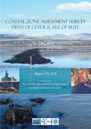
COASTAL ZONE ASSESSMENT SURVEY - SCAPE
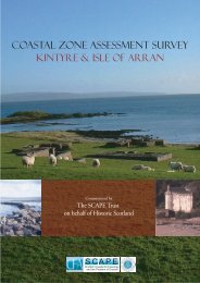
COASTAL ZONE ASSESSMENT SURVEY - SCAPE
COASTAL ZONE ASSESSMENT SURVEY - SCAPE

Create successful ePaper yourself
Turn your PDF publications into a flip-book with our unique Google optimized e-Paper software.
4. ARCHAEOLOGICAL BACKGROUND OF THE STUDY AREAS<br />
4.1 Kintyre<br />
Prehistoric<br />
4.1.1 There are several prehistoric archaeological sites and monuments on Kintyre.<br />
These include numerous duns, castles and forts occupying exposed<br />
promontories. The so-called promontory forts are widely distributed and have<br />
been occupied from prehistory through into the medieval period. Typical<br />
examples of these are the forts at Carradale Point and Kildonan Point.<br />
4.1.2 Cist burials and cairns are also documented but sadly few of these features<br />
survive today. There are at least three cists recorded at Trench Point that have<br />
been fully excavated and of which nothing now remains. There are also<br />
several cairns recorded, mostly at Kildonan Point, that have been attributed a<br />
prehistoric date though this has not been established through excavation.<br />
Medieval<br />
4.1.3 There are several sites of medieval date along the east coast of Kintyre. These<br />
include castles, a burgh, churches or chapels, bloomery mounds and a well.<br />
The east coast of Kintyre is very rugged and rocky which means that it is idea<br />
for locating defensive structures as the coastline itself provides a defence<br />
against attack from the sea. Two examples of these can be seen at Tarbert<br />
Castle and Airds Castle. The natural harbour of Tarbert, although it is now<br />
enclosed, is an ideal place to settle with direct protected access to the sea and<br />
an easily accessible hinterland. The identification of a medieval burgh around<br />
the castle suggests that this area was settled from at least this time if not<br />
before.<br />
Post-Medieval<br />
4.1.4 There are numerous post-medieval sites along the east coast of Kintyre. These<br />
comprise mostly of buildings and tend to concentrate within existing towns or<br />
clusters forming smaller settlements, such as at Grogport. The other main<br />
types of sites associated with the post-medieval period are boathouses and<br />
piers, which given that this is a coastal survey are not unexpected. Other sites<br />
such as stone walls may be linked to land improvements during this time.<br />
Industrial Period<br />
4.1.5 Sites dated to the industrial period are common. Many of these sites are<br />
associated with shipping, including shipwrecks carrying industrial products<br />
such as coal or lime. In and around Campbeltown the shipping industry is<br />
very obvious, even today. There are the remains of warehouses and shipyards<br />
that echo back to the golden age of the shipping industry during the period of<br />
industrialisation in the 1800s. The number of shipwrecks noted in the small<br />
wayleave of the survey area suggests that shipping was a hazardous<br />
occupation, especially along this coast.<br />
KACL/997/0<br />
17<br />
CFA