

ARCHAEOLOGICAL EVALUATION - Mike Griffiths and Associates
ARCHAEOLOGICAL EVALUATION - Mike Griffiths and Associates
ARCHAEOLOGICAL EVALUATION - Mike Griffiths and Associates

You also want an ePaper? Increase the reach of your titles
YUMPU automatically turns print PDFs into web optimized ePapers that Google loves.
FAS_lbf01.wpd 107<br />
gravel <strong>and</strong> pebble inclusions. F19 is a continuation of F13, which was identified in Intervention 18 <strong>and</strong> was<br />
interpreted as a sink hole <strong>and</strong> was encountered during the magnetometer survey (Intervention 4, F29).<br />
F22 was situated c.1.5m from the southern end of Intervention<br />
23 <strong>and</strong> was situated against, <strong>and</strong> continued beyond, the eastern<br />
edge of excavation (Plate 27). It appeared as a possibly circular<br />
deposit of gravel-rich brown clayey silt measuring 1.5m long x<br />
0.89m wide. The available area of the feature was excavated,<br />
<strong>and</strong> it proved to be a shallow scoop with gently sloping sides<br />
<strong>and</strong> a concave base (Figure 62). The feature had been<br />
backfilled once with C1200, which consisted of a sterile brown<br />
clayey-silt with high percentages of gravel inclusions (80%).<br />
The feature was no greater than 0.22m in depth, appeared as a<br />
truncated pit or posthole <strong>and</strong> no dateable material was<br />
recovered.<br />
Plate 27 F22, Intervention 23, looking east<br />
(scale 0.5m)<br />
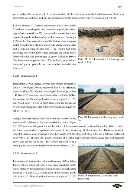
8.2.18 Intervention 24<br />
Intervention 24 was located towards the southern boundary of<br />
Zone C (see Figure 36) <strong>and</strong> measured 50m x 8m, orientated<br />
east-west (Plate 28). Ground level sloped down slightly from<br />
c.42.80m AOD at eastern end of the trench to c.42.60m AOD at<br />
the western end. The dark yellowish-brown ploughsoil (C1123)<br />
was found to be c.0.30m in depth throughout the trench <strong>and</strong><br />
overlay an homogenous orangish-brown gravel <strong>and</strong> clayey silt<br />
subsoil (C1124).<br />
A single feature (F23) was identified within Intervention 24 <strong>and</strong><br />
was located c.7.00m from the eastern end of the trench (Figure<br />
63). F23 was situated against the southern limit of the intervention <strong>and</strong> continued beyond it. Where visible,<br />
the feature appeared to be a possible sub-circular feature measuring c.0.50m in diameter. The entire available<br />
area of the feature was excavated, where it proved to be 0.31m deep with steep sides <strong>and</strong> a flat base backfilled<br />
once with C1201 (Figure 64). C1201 consisted of a friable dark yellowish-brown s<strong>and</strong>y clay with frequent<br />
gravel <strong>and</strong> pebble inclusions. The feature appeared to be a<br />
small pit, but no dateable material was recovered from C1201.<br />
Plate 28 Intervention 24 looking west (scale<br />
2m)<br />
8.2.19 Intervention 25<br />
Intervention 25 was situated in the southern area of Zone B (see<br />
Figure 36) <strong>and</strong> measured 100m x 4m, being orientated northsouth<br />
(Plate 29). Ground surface was fairly level throughout the<br />
trench at c.42.20m AOD, sloping down at the southern end to<br />
c.41.95m AOD. The dark yellowish-brown ploughsoil (C1123)<br />
Plate 29 Intervention 25 looking south<br />
(scale 2m)<br />
FIELD ARCHAEOLOGY SPECIALISTS


