E;*+ - Geological Curators
E;*+ - Geological Curators
E;*+ - Geological Curators

Create successful ePaper yourself
Turn your PDF publications into a flip-book with our unique Google optimized e-Paper software.
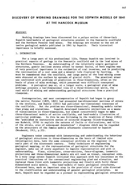
DISCOVERY OF WORKING DRAWINGS FOR THE SOPWITH MODELS OF 1841<br />
Abstract<br />
AT THE HANCOCK MUSEUM<br />
Working drawings have been discovered for aynique series of three-inch<br />
Sopwith hand-models of geological structures prekent in the Newcastle coalfield<br />
and the Northern Pennine lead mines. The drawings are related to the set of<br />
twelve geological models published in 1841 by Sopwith. Their historical<br />
importance is briefly assessed.<br />
1. INTRODUCTION<br />
For a large part of his professional life, Thomas Sopwith was involved in<br />
practical aspects of geology in the Newcastle coalfield and in the lead mines of<br />
the Northern Pennines. An understanding of the relatively simple geological<br />
structures, gently inclined strata offset by normal faults, of both regions was<br />
of very practical importance in the estimation of coal reserves, and in predicting<br />
the continuation of a coal seam and a mineral lode displaced by faulting. It<br />
must be remembered that the coalfield, and large parts of the lead mining areas<br />
were obscured at the surface by spreads of glacial drift. The practical miner<br />
was confronted with problems of prediction in three-dimensions, often on the<br />
basis of plans of mine workings, which presented very difficult conceptual<br />
problems. A geological map or, at a larger scale, a geological plan of mine<br />
workings presents a two-dimensional view of a three-dimensional world, the<br />
real world of mining and understanding geological structures from a practical<br />
viewpoint.<br />
Contemporaries, and near contemporaries of Sopwith had begun to grasp<br />
the nettle: Forster (1809, 1821) had presented two-dimensional sections of strata<br />
in the orefield, and Buddle (1831) had published two-dimensional traverses of<br />
the coalfields. But the problem was three-dimensional, demanding models rather<br />
than plans and elevations. Sopwith developed isometric projections as a means<br />
of visualisation in three-dimensions, but almost concurrently began to make<br />
three-dimensional models of entire coalfields, and hand-models illustrative of<br />
particular problems. In this he was following in the tradition of Farey (1811)<br />
who 'published an instructive series of coloured diagrams (block-diagrams,<br />
see Rudwick, 1976) to explain the natures of faults or disl.ocations, and tilts<br />
of the strata, also of subsequent denudation' - diagrams which may be regarded<br />
as the precursors of the famous models afterwards constructed by Sopwith<br />
(Woodward, 1911, p.55).<br />
Engineers today concerned with interpreting and understanding the behaviour<br />
of geological structures in three-dimensions on the basis of limited site<br />
investigation data, have the same conceptual problems as the engineer in the<br />
early part of the nineteenth century. Today techniques of engineering<br />
geological mapping, or the representation of geological structures for the<br />
engineer, make use of every expedient to improve representation and with it<br />
understanding. Plans, elevations, cross-sections, fence-diagrams, isometric<br />
projections and three-dimensional models are all used as visual, conceptual aids.<br />
To a very large extent Sopwith initiated this approach with his insistence on the<br />
practical limitations of the conventional engineering plan'and elevation, and<br />
replaced these first with isometric projections and finally with fully three-<br />
dimensioned scale models. His hand-models of basic geological structures,<br />
discussed here, mark an important step in the provision of visual aids directed<br />
to the clarification and understanding of general geological principles. As<br />
such, Sopwith must be regarded as a pioneer in representing geological structures