Southwest Florida - Hernando County
Southwest Florida - Hernando County
Southwest Florida - Hernando County
- No tags were found...
You also want an ePaper? Increase the reach of your titles
YUMPU automatically turns print PDFs into web optimized ePapers that Google loves.
Floodplain Justification Report<br />
Centralia Watershed (B206)<br />
<strong>Hernando</strong> <strong>County</strong>, <strong>Florida</strong> Page 16 of 31<br />
_____________________________________________________________________________<br />
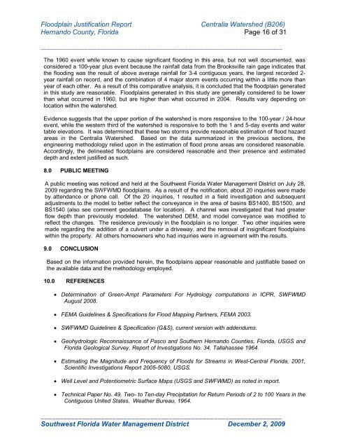
The 1960 event while known to cause significant flooding in this area, but not well documented, was<br />
considered a 100-year plus event because the rainfall data from the Brooksville rain gage indicates that<br />
the flooding was the result of above average rainfall for 3-4 contiguous years, the largest recorded 2-<br />
year rainfall on record, and the combination of 4 major storm events occurring within a little more than<br />
year of each other. As a result of this comparative analysis, it is concluded that the floodplain generated<br />
in this study are reasonable. Floodplains generated in this study are generally considered to be lower<br />
than what occurred in 1960, but are higher than what occurred in 2004. Results vary depending on<br />
location within the watershed.<br />
Evidence suggests that the upper portion of the watershed is more responsive to the 100-year / 24-hour<br />
event, while the western third of the watershed is responsive to both the 1 and 5-day events and water<br />
table elevations. It was determined that these two storms provide reasonable estimation of flood hazard<br />
areas in the Centralia Watershed. Based on the data summarized in the previous sections, the<br />
engineering methodology relied upon in the estimation of flood prone areas are considered reasonable.<br />
Accordingly, the delineated floodplains are considered reasonable and their presence and estimated<br />
depth and extent justified as such.<br />
8.0 PUBLIC MEETING<br />
A public meeting was noticed and held at the <strong>Southwest</strong> <strong>Florida</strong> Water Management District on July 28,<br />
2009 regarding the SWFWMD floodplains. As a result of the notification, about 20 inquiries were made<br />
by attendance or phone call. Of the 20 inquiries, 1 resulted in a field investigation and subsequent<br />
adjustments to the model to better reflect the conveyance in the area of basins BS1400, BS1500, and<br />
BS1540 (also see comment geodatabase for location). A channel was investigated that had greater<br />
flow depth than previously modeled. The watershed DEM, and model conveyance was modified to<br />
reflect the changes. The residence previously in the floodplain is no longer. Two other inquiries were<br />
made regarding the addition of a culvert under a driveway, and the removal of insignificant floodplains<br />
within the property. All others homeowners who had inquiries were in agreement with the results.<br />
9.0 CONCLUSION<br />
Based on the information provided herein, the floodplains appear reasonable and justifiable based on<br />
the available data and the methodology employed.<br />
10.0 REFERENCES<br />
Determination of Green-Ampt Parameters For Hydrology computations in ICPR, SWFWMD<br />
August 2008.<br />
FEMA Guidelines & Specifications for Flood Mapping Partners, FEMA 2003.<br />
SWFWMD Guidelines & Specification (G&S), current version with addendums.<br />
Geohydrologic Reconnaissance of Pasco and Southern <strong>Hernando</strong> Counties, <strong>Florida</strong>, USGS and<br />
<strong>Florida</strong> Geological Survey, Report of Investigations No. 34, Tallahassee 1964.<br />
Estimating the Magnitude and Frequency of Floods for Streams in West-Central <strong>Florida</strong>, 2001,<br />
Scientific Investigations Report 2005-5080, USGS.<br />
Well Level and Potentiometric Surface Maps (USGS and SWFWMD) as noted in report.<br />
Technical Paper No. 49, Two- to Ten-day Precipitation for Return Periods of 2 to 100 Years in the<br />
Contiguous United States, Weather Bureau, 1964.<br />
________________________________________________________________<br />
<strong>Southwest</strong> <strong>Florida</strong> Water Management District December 2, 2009


