Nassau County - Northeast Florida Regional Council
Nassau County - Northeast Florida Regional Council
Nassau County - Northeast Florida Regional Council
Create successful ePaper yourself
Turn your PDF publications into a flip-book with our unique Google optimized e-Paper software.
Volume VII-4 <strong>Northeast</strong> <strong>Florida</strong><br />
Statewide <strong>Regional</strong> Evacuation Studies Program<br />
STORM TIDE ATLAS<br />
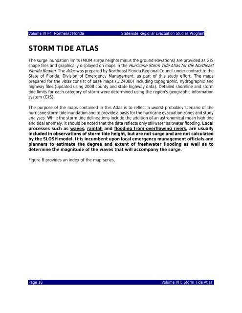
The surge inundation limits (MOM surge heights minus the ground elevations) are provided as GIS<br />
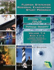
shape files and graphically displayed on maps in the Hurricane Storm Tide Atlas for the <strong>Northeast</strong><br />
<strong>Florida</strong> Region. The Atlas was prepared by <strong>Northeast</strong> <strong>Florida</strong> <strong>Regional</strong> <strong>Council</strong> under contract to the<br />
State of <strong>Florida</strong>, Division of Emergency Management, as part of this study effort. The maps<br />
prepared for the Atlas consist of base maps (1:24000) including topographic, hydrographic and<br />
highway files (updated using 2008 county and state highway data). Detailed shoreline and storm<br />
tide limits for each category of storm were determined using the region's geographic information<br />
system (GIS).<br />
The purpose of the maps contained in this Atlas is to reflect a @worst probable@ scenario of the<br />
hurricane storm tide inundation and to provide a basis for the hurricane evacuation zones and study<br />
analyses. While the storm tide delineations include the addition of an astronomical mean high tide<br />
and tidal anomaly, it should be noted that the data reflects only stillwater saltwater flooding. Local<br />
processes such as waves, rainfall and flooding from overflowing rivers, are usually<br />
included in observations of storm tide height, but are not surge and are not calculated<br />
by the SLOSH model. It is incumbent upon local emergency management officials and<br />
planners to estimate the degree and extent of freshwater flooding as well as to<br />
determine the magnitude of the waves that will accompany the surge.<br />
Figure 8 provides an index of the map series.<br />
Page 18<br />
Volume VII: Storm Tide Atlas


