Mapping Exercise-hazard identification - Green Schools Ireland
Mapping Exercise-hazard identification - Green Schools Ireland
Mapping Exercise-hazard identification - Green Schools Ireland

Create successful ePaper yourself
Turn your PDF publications into a flip-book with our unique Google optimized e-Paper software.
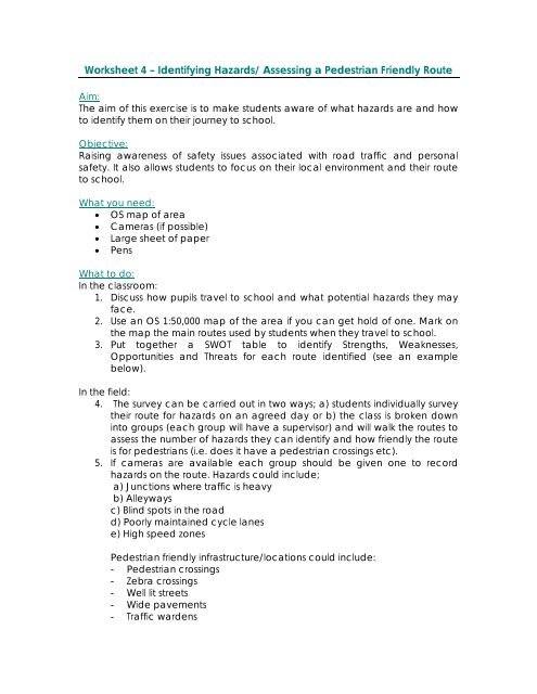
Worksheet 4 – Identifying Hazards/ Assessing a Pedestrian Friendly Route<br />
Aim:<br />
The aim of this exercise is to make students aware of what <strong>hazard</strong>s are and how<br />
to identify them on their journey to school.<br />
Objective:<br />
Raising awareness of safety issues associated with road traffic and personal<br />
safety. It also allows students to focus on their local environment and their route<br />
to school.<br />
What you need:<br />
• OS map of area<br />
• Cameras (if possible)<br />
• Large sheet of paper<br />
• Pens<br />
What to do:<br />
In the classroom:<br />
1. Discuss how pupils travel to school and what potential <strong>hazard</strong>s they may<br />
face.<br />
2. Use an OS 1:50,000 map of the area if you can get hold of one. Mark on<br />
the map the main routes used by students when they travel to school.<br />
3. Put together a SWOT table to identify Strengths, Weaknesses,<br />
Opportunities and Threats for each route identified (see an example<br />
below).<br />
In the field:<br />
4. The survey can be carried out in two ways; a) students individually survey<br />
their route for <strong>hazard</strong>s on an agreed day or b) the class is broken down<br />
into groups (each group will have a supervisor) and will walk the routes to<br />
assess the number of <strong>hazard</strong>s they can identify and how friendly the route<br />
is for pedestrians (i.e. does it have a pedestrian crossings etc).<br />
5. If cameras are available each group should be given one to record<br />
<strong>hazard</strong>s on the route. Hazards could include;<br />
a) Junctions where traffic is heavy<br />
b) Alleyways<br />
c) Blind spots in the road<br />
d) Poorly maintained cycle lanes<br />
e) High speed zones<br />
Pedestrian friendly infrastructure/locations could include:<br />
- Pedestrian crossings<br />
- Zebra crossings<br />
- Well lit streets<br />
- Wide pavements<br />
- Traffic wardens
- Low speed zones<br />
In the classroom:<br />
6. Pupils can mark on the map the location along the route where <strong>hazard</strong>s<br />
or infrastructure occur.<br />
7. If cameras were used these pictures can then be displayed with the map<br />
to give a clearer understanding of the <strong>hazard</strong>.<br />
8. Pupils can then assess the strengths, weaknesses, opportunities and threats<br />
associated with each route (see attached table).<br />
9. Finally pupils can then determine which route is safer for walkers, cyclists or<br />
motorists.<br />
10. As a follow up it may be useful finding out from the local Gardai where<br />
the accident blackspots are in the area. If this information is available it<br />
will be useful when planning safer routes to school.<br />
Example of a SWOT analysis table:<br />
Route Strengths Weaknesses Opportunities Threats Overall Analysis<br />
Route 1 Has a<br />
pedestrian<br />
crossing and<br />
lollipop lady<br />
There are two<br />
alleyways<br />
which are unlit<br />
Useful websites:<br />
www.eco-schools.org<br />
www.epa.ie<br />
www.saferoutestoschools.org.uk<br />
www.livingstreets.org.uk<br />
There is<br />
potential to<br />
avoid the<br />
alleyways by<br />
walking down<br />
XXX street<br />
The road<br />
outside<br />
the school<br />
has a lot<br />
of HGV<br />
traffic<br />
There are a number<br />
of <strong>hazard</strong>s along the<br />
route. However there<br />
are good crossing<br />
points and the<br />
lollipop lady is always<br />
there to help.