Kuala Lumpur Monsoon Activity Centre November 2011
Kuala Lumpur Monsoon Activity Centre November 2011
Kuala Lumpur Monsoon Activity Centre November 2011

Create successful ePaper yourself
Turn your PDF publications into a flip-book with our unique Google optimized e-Paper software.
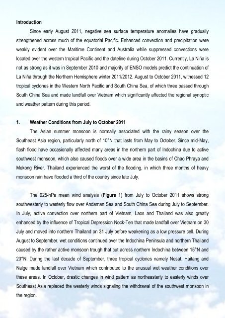
Introduction<br />
Since early August <strong>2011</strong>, negative sea surface temperature anomalies have gradually<br />
strengthened across much of the equatorial Pacific. Enhanced convection and precipitation were<br />
weakly evident over the Maritime Continent and Australia while suppressed convections were<br />
located over the western tropical Pacific and the dateline during October <strong>2011</strong>. Currently, La Niña is<br />
not as strong as it was in September 2010 and majority of ENSO models predict the continuation of<br />
La Niña through the Northern Hemisphere winter <strong>2011</strong>/2012. August to October <strong>2011</strong>, witnessed 12<br />
tropical cyclones in the Western North Pacific and South China Sea, of which three passed through<br />
South China Sea and made landfall over Vietnam which significantly affected the regional synoptic<br />
and weather pattern during this period.<br />
1. Weather Conditions from July to October <strong>2011</strong><br />
The Asian summer monsoon is normally associated with the rainy season over the<br />
Southeast Asia region, particularly north of 10°N that lasts from May to October. Since mid-May,<br />
flash flood have occasionally affected many areas in the northern part of Indochina due to active<br />
southwest monsoon, which also caused floods over a wide area in the basins of Chao Phraya and<br />
Mekong River. Thailand experienced the worst of the flooding, in which three months of heavy<br />
monsoon rain have flooded a third of the country since late July.<br />
The 925-hPa mean wind analysis (Figure 1) from July to October <strong>2011</strong> shows strong<br />
southwesterly to westerly flow over Andaman Sea and South China Sea during July to September.<br />
In July, active convection over northern part of Vietnam, Laos and Thailand was also greatly<br />
enhanced by the influence of Tropical Depression Nock-Ten that made landfall over Vietnam on 30<br />
July and moved into northern Thailand on 31 July before weakening as a low pressure cell. During<br />
August to September, wet conditions continued over the Indochina Peninsula and northern Thailand<br />
caused by the rather active monsoon trough that cut across northern Indochina between 15°N and<br />
20°N. During the last decade of September, three tropical cyclones namely Nesat, Haitang and<br />
Nalge made landfall over Vietnam which contributed to the unusual wet weather conditions over<br />
these areas. In October, drastic changes in wind pattern as northeasterly to easterly winds over<br />
Southeast Asia replaced the westerly winds signaling the withdrawal of the southwest monsoon in<br />
the region.