Sweetwater Creek Watershed Mgmt. Plan 2007 Update--Part 2
Sweetwater Creek Watershed Mgmt. Plan 2007 Update--Part 2
Sweetwater Creek Watershed Mgmt. Plan 2007 Update--Part 2

Create successful ePaper yourself
Turn your PDF publications into a flip-book with our unique Google optimized e-Paper software.
CHAPTER 8<br />
8.6.2 Public Lands in the <strong>Sweetwater</strong> <strong>Creek</strong> <strong>Watershed</strong><br />
A review of existing public lands within the watershed was conducted utilizing GIS metadata for<br />
conservation lands in Florida compiled by the Florida Greenways <strong>Plan</strong>ning Team, Department<br />
of Landscape Architecture of the University of Florida based on:<br />
• SWFWMD GIS acquired and proposed land data<br />
• CARL, Conservation Lands 1999, and FNAI Managed areas GIS data (FGDL)<br />
• Hillsborough County ELAPP GIS data<br />
• Atlas of Outstanding Florida Waters<br />
Hillsborough County Parks information provided by the Hillsborough <strong>Plan</strong>ning Commission was<br />
also reviewed and utilized for this report. An analysis of the GIS data layers was performed to<br />
approximate proposed and acquired land area. No public lands have been acquired for<br />
conservation purposes in this watershed, giving the <strong>Sweetwater</strong> <strong>Creek</strong> watershed a score of 0<br />
in the natural systems evaluation matrix.<br />
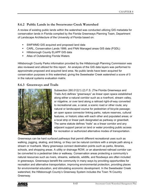
8.6.3 Greenways and Trails<br />
Subsection 260.012(1) (2) F.S. (The Florida Greenways and<br />
Trails Act) defines “greenways” as linear open space established<br />
along either a natural corridor such as a riverfront, stream valley,<br />
or ridgeline, or over land along a railroad right-of-way converted<br />
to recreational use, a canal, a scenic road or other route; any<br />
natural or landscaped course for pedestrian of bicycle passage;<br />
an open space connector linking parks, nature reserves, cultural<br />
features, or historic sites with each other and populated areas; or<br />
a local strip or linear park designated as parkway or greenbelt.<br />
The same statute defines “trails” as a linear corridor and any<br />
adjacent support parcel on land or water providing public access<br />
for recreation or authorized alternative modes of transportation.<br />
Greenways can be hard surfaced pathways that permit different recreational uses such as<br />
walking, jogging, skating, and biking, or they can be natural corridors with a simple path along a<br />
stream or riverbank. Many greenways connect destination points such as parks, libraries,<br />
schools, and shopping areas. A utility or drainage ROW, or an abandoned railroad corridor can<br />
be converted to a pedestrian bike or walkway. Conservation areas protecting a community’s<br />
natural resources such as rivers, streams, wetlands, wildlife, and floodways are often included<br />
in greenways. Greenways benefit the community in many ways by providing opportunities for<br />
recreation and alternative transportation, improving environmental protection, providing places<br />
for environmental education, and stimulating economic development. In the <strong>Sweetwater</strong> <strong>Creek</strong><br />
watershed, the Hillsborough County’s Greenway System includes the Town ‘N Country<br />
Greenway.<br />
8-43<br />
<strong>Sweetwater</strong> <strong>Creek</strong> <strong>Watershed</strong> Management <strong>Plan</strong>