FINAL Report - Hutchinson River Restoration Project
FINAL Report - Hutchinson River Restoration Project
FINAL Report - Hutchinson River Restoration Project
Create successful ePaper yourself
Turn your PDF publications into a flip-book with our unique Google optimized e-Paper software.
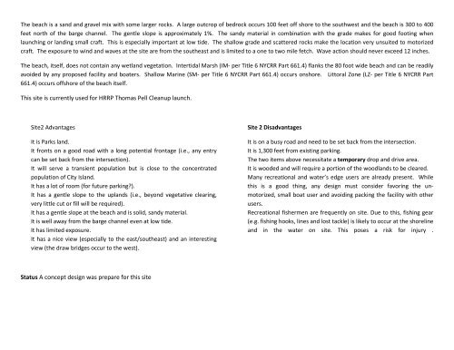
The beach is a sand and gravel mix with some larger rocks. A large outcrop of bedrock occurs 100 feet off shore to the southwest and the beach is 300 to 400<br />
feet north of the barge channel. The gentle slope is approximately 1%. The sandy material in combination with the grade makes for good footing when<br />
launching or landing small craft. This is especially important at low tide. The shallow grade and scattered rocks make the location very unsuited to motorized<br />
craft. The exposure to wind and waves at the site are from the southeast and is limited to a one to two mile fetch. Wave action should never exceed 12 inches.<br />
The beach, itself, does not contain any wetland vegetation. Intertidal Marsh (IM- per Title 6 NYCRR Part 661.4) flanks the 80 foot wide beach and can be readily<br />
avoided by any proposed facility and boaters. Shallow Marine (SM- per Title 6 NYCRR Part 661.4) occurs onshore. Littoral Zone (LZ- per Title 6 NYCRR Part<br />
661.4) occurs offshore of the beach itself.<br />
This site is currently used for HRRP Thomas Pell Cleanup launch.<br />
Site2 Advantages<br />
It is Parks land.<br />
It fronts on a good road with a long potential frontage (i.e., any entry<br />
can be set back from the intersection).<br />
It will serve a transient population but is close to the concentrated<br />
population of City Island.<br />
It has a lot of room (for future parking?).<br />
It has a gentle slope to the uplands (i.e., beyond vegetative clearing,<br />
very little cut or fill will be required).<br />
It has a gentle slope at the beach and is solid, sandy material.<br />
It is well away from the barge channel even at low tide.<br />
It has limited exposure.<br />
It has a nice view (especially to the east/southeast) and an interesting<br />
view (the draw bridges occur to the west).<br />
Site 2 Disadvantages<br />
It is on a busy road and need to be set back from the intersection.<br />
It is 1,300 feet from existing parking.<br />
The two items above necessitate a temporary drop and drive area.<br />
It is wooded and will require a portion of the woodlands to be cleared.<br />
Many recreational and water’s edge users are already present. While<br />
this is a good thing, any design must consider favoring the unmotorized,<br />
small boat user and avoiding packing the facility with other<br />
users.<br />
Recreational fishermen are frequently on site. Due to this, fishing gear<br />
(e.g. fishing hooks, lines and lost tackle) is likely to occur at the shoreline<br />
and in the water on site. This poses a risk for injury .<br />
Status A concept design was prepare for this site


