Wisconsin Regional Curves Overview - USGS
Wisconsin Regional Curves Overview - USGS
Wisconsin Regional Curves Overview - USGS

You also want an ePaper? Increase the reach of your titles
YUMPU automatically turns print PDFs into web optimized ePapers that Google loves.
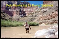
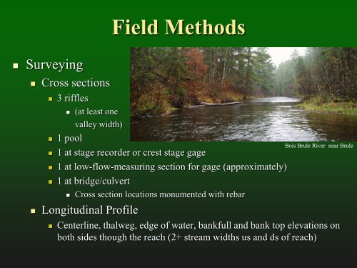
Field Methods<br />
• Surveying<br />
• Cross sections<br />
• 3 riffles<br />
• (at least one<br />
valley width)<br />
• 1 pool<br />
• 1 at stage recorder or crest stage gage<br />
• 1 at low-flow-measuring section for gage (approximately)<br />
• 1 at bridge/culvert<br />
• Cross section locations monumented with rebar<br />
• Longitudinal Profile<br />
Bois Brule River near Brule<br />
• Centerline, thalweg, edge of water, bankfull and bank top elevations on<br />
both sides though the reach (2+ stream widths us and ds of reach)