HERE - Inland Fisheries Ireland
HERE - Inland Fisheries Ireland
HERE - Inland Fisheries Ireland

You also want an ePaper? Increase the reach of your titles
YUMPU automatically turns print PDFs into web optimized ePapers that Google loves.
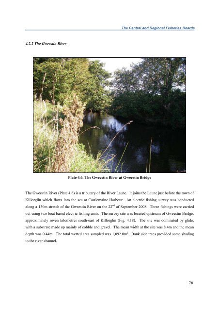
The Central and Regional <strong>Fisheries</strong> Boards4.2.2 The Gweestin RiverPlate 4.6. The Gweestin River at Gweestin BridgeThe Gweestin River (Plate 4.6) is a tributary of the River Laune. It joins the Laune just before the town ofKillorglin which flows into the sea at Castlemaine Harbour. An electric fishing survey was conductedalong a 130m stretch of the Gweestin River on the 22 nd of September 2008. Three fishings were carriedout using two boat based electric fishing units. The survey site was located upstream of Gweestin Bridge,approximately seven kilometres south-east of Killorglin (Fig. 4.18). The site was dominated by glide,with a substrate made up mainly of cobble and gravel. The mean width at the site was 8.4m and the meandepth was 0.44m. The total wetted area sampled was 1,092.0m 2 . Bank side trees provided some shadingto the river channel.26