a Public Benefit Mapping Project - Green Infrastructure North West
a Public Benefit Mapping Project - Green Infrastructure North West
a Public Benefit Mapping Project - Green Infrastructure North West
- No tags were found...

Create successful ePaper yourself
Turn your PDF publications into a flip-book with our unique Google optimized e-Paper software.
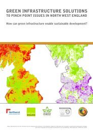
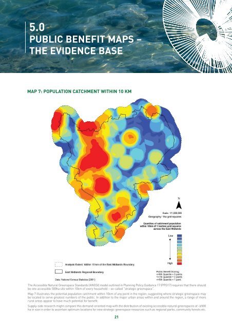
5.0PUBLIC BENEFIT MAPS –THE EVIDENCE BASEMAP 7: POPULATION CATCHMENT WITHIN 10 KMThe Accessible Natural <strong>Green</strong>space Standards (ANGSt) model outlined in Planning Policy Guidance 17 (PPG17) requires that there shouldbe one accessible 500ha site within 10km of every household – so-called “strategic greenspace”.Map 7 illustrates the potential population catchment within 10km of any point in the region; suggesting where strategic greenspace maybe located to serve greatest numbers of the public. In addition to the major urban areas within and around the region, a range of morerural areas appear to have much potential for benefit.Supply-side research might compare this demand-oriented map with the distribution of existing accessible natural greenspaces of >500ha in size in order to ascertain optimum locations for new strategic greenspace resources such as regional parks, community forests etc.21