Guidance for reporting under the WFD - CIRCABC - Europa
Guidance for reporting under the WFD - CIRCABC - Europa
Guidance for reporting under the WFD - CIRCABC - Europa
You also want an ePaper? Increase the reach of your titles
YUMPU automatically turns print PDFs into web optimized ePapers that Google loves.
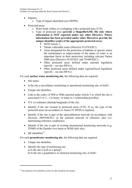
<strong>Guidance</strong> Document No: 21<strong>Guidance</strong> <strong>for</strong> <strong>reporting</strong> <strong>under</strong> <strong>the</strong> Water Framework Directive• Impacts:o Type of impact identified (see GWPI9).• Protected areas:o Water body within or overlapping with a protected area (Y/N);o Type of protected area (provide a Shapefile/GML file only wherein<strong>for</strong>mation is NOT reported <strong>under</strong> any o<strong>the</strong>r Directive. Wherein<strong>for</strong>mation has been provided <strong>under</strong> o<strong>the</strong>r Directives provide <strong>the</strong>unique identifier (code) of <strong>the</strong> appropriate protected area):• <strong>WFD</strong> Article 7;• Nitrate vulnerable zones (Directive 91/676/EEC);• Areas designated <strong>for</strong> <strong>the</strong> protection of habitats or species where<strong>the</strong> maintenance or improvement of <strong>the</strong> status of water is animportant factor in <strong>the</strong>ir protection, including relevant Natura2000 sites (Directive 92/43/EEC and 79/409/EEC);• O<strong>the</strong>r protected areas defined <strong>under</strong> national legislation(specify – see also RPA1);• O<strong>the</strong>r protected areas defined <strong>under</strong> regional/local legislation(specify – see also RPA1).For each surface water monitoring site, <strong>the</strong> following data are required:• Site name;• Is <strong>the</strong> site a surveillance monitoring or operational monitoring site, or both?;• Unique site identifier;• Link to <strong>the</strong> code/s of WB or WBs reported <strong>under</strong> Article 5 to which <strong>the</strong> site isassociated (1 to 1-, 1 to many- or many to 1-relationship possible);• X/Y co-ordinates (latitude/longitude) of <strong>the</strong> site;• Identify if <strong>the</strong> site located in protected areas (Y/N). If so, <strong>the</strong> type of <strong>the</strong>protected areas (in accordance to Annex IV <strong>WFD</strong>) is required;• Identify if <strong>the</strong> site is part of <strong>the</strong> intercalibration network (in accordance withDecision 2005/646/EC) or <strong>the</strong> national network of reference sites (i.e.determining reference conditions);• Identify if <strong>the</strong> site is part of existing international monitoring networks (e.g.TNMN of <strong>the</strong> Danube river basin or WISE-SoE site);• QE identifiers 17 .For each groundwater monitoring site, <strong>the</strong> following date are required:• Unique site identifier;• Identify <strong>the</strong> type of monitoring site:a) Is <strong>the</strong> site a well or a spring?;b) Is <strong>the</strong> site a quantitative or chemical monitoring site, or both?17 Development of an identifier system <strong>for</strong> QEs should be developed.17


