Jim Dietrich Park & Riverside Basin Park Master Site ... - Berks County
Jim Dietrich Park & Riverside Basin Park Master Site ... - Berks County
Jim Dietrich Park & Riverside Basin Park Master Site ... - Berks County

Create successful ePaper yourself
Turn your PDF publications into a flip-book with our unique Google optimized e-Paper software.
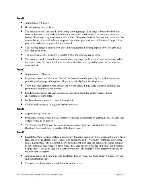
Area B<br />
Area C<br />
Area D<br />
Area E<br />
Approximately 8-acres.<br />
Gently sloping to level land.<br />
The main feature of this area is the existing shooting range. The range is bound by the basin<br />
berm to the west. A created earthen berm is developed south and east of the range to collect<br />
bullets. The range is approximately 300’ x 200’. Weapons are fired from north to south into the<br />
earthen berm. A second informal range occurs in the open lawn east of the formal range. Shot<br />
gun shells and archery arrows litter was noted.<br />
The shooting range is immediately east of the Recreation Building, separated by a twenty-five<br />
foot high basin berm.<br />
The large basin outlet structure is located within the shooting range berm.<br />
The main access drive terminates into the shooting range. A former trail spur that connected to<br />
the access drive has been lost due to recent construction activity on the corner of the adjacent<br />
industrial site.<br />
Approximately 30-acres.<br />
Irregularly sloped wooded area. Overall, the basin bottom is generally flat with some severe<br />
periodic grade changes throughout. Slopes vary widely from 5 to 40 percent.<br />
Thirty foot high earthen berms protect the western sides. Large-scale industrial buildings are<br />
prominent along the eastern border.<br />
Residential properties are very visible and very close along the eastern border. Some<br />
encroachments were noted.<br />
Pools of standing water were noted throughout.<br />
Cleared trails meander throughout the basin bottom.<br />
Approximately 14-acres<br />
Irregularly sloping wooded area completely enclosed and isolated by earthen berms. Slopes vary<br />
widely from 5 to 40 percent.<br />
The berms completely loop the area and maintain an at-grade access from the Recreation<br />
Building. A 3/4 mile loop is created at the top of berm.<br />
Laurel Run <strong>Park</strong> facilities include a community building, picnic pavilion, restroom building, lawn<br />
area, and two basketball courts. Laurel Run bisects the park. A wooden footbridge is provided<br />
across Laurel Run. The basketball courts and adjacent lawn area are depressed causing damage<br />
to the courts and encourage wet lawn areas. This area has been flooded in the past for the annual<br />
fishing rodeo. The court area is not ADA accessible. The majority of the improvements are in<br />
the 100-year floodplain.<br />
Annual activities at the park include the Rotary fishing rodeo, egg hunt, turkey trot race, hayride,<br />
and basketball leagues.<br />
The lower desilting basin berm defines the southern end.<br />
<strong>Jim</strong> <strong>Dietrich</strong> <strong>Park</strong> and <strong>Riverside</strong> <strong>Basin</strong> <strong>Park</strong> <strong>Master</strong> <strong>Site</strong> Plan Chapter 3-12