Conservation Element - Calaveras County Government Services
Conservation Element - Calaveras County Government Services
Conservation Element - Calaveras County Government Services
Create successful ePaper yourself
Turn your PDF publications into a flip-book with our unique Google optimized e-Paper software.
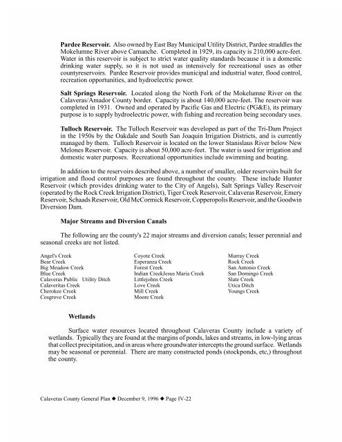
Pardee Reservoir. Also owned by East Bay Municipal Utility District, Pardee straddles theMokelumne River above Camanche. Completed in 1929, its capacity is 210,000 acre-feet.Water in this reservoir is subject to strict water quality standards because it is a domesticdrinking water supply, so it is not used as intensively for recreational uses as othercountyreservoirs. Pardee Reservoir provides municipal and industrial water, flood control,recreation opportunities, and hydroelectric power.Salt Springs Reservoir. Located along the North Fork of the Mokelumne River on the<strong>Calaveras</strong>/Amador <strong>County</strong> border. Capacity is about 140,000 acre-feet. The reservoir wascompleted in 1931. Owned and operated by Pacific Gas and Electric (PG&E), its primarypurpose is to supply hydroelectric power, with fishing and recreation being secondary uses.Tulloch Reservoir. The Tulloch Reservoir was developed as part of the Tri-Dam Projectin the 1950s by the Oakdale and South San Joaquin Irrigation Districts, and is currentlymanaged by them. Tulloch Reservoir is located on the lower Stanislaus River below NewMelones Reservoir. Capacity is about 50,000 acre-feet. The water is used for irrigation anddomestic water purposes. Recreational opportunities include swimming and boating.In addition to the reservoirs described above, a number of smaller, older reservoirs built forirrigation and flood control purposes are found throughout the county. These include HunterReservoir (which provides drinking water to the City of Angels), Salt Springs Valley Reservoir(operated by the Rock Creek Irrigation District), Tiger Creek Reservoir, <strong>Calaveras</strong> Reservoir, EmeryReservoir, Schaads Reservoir, Old McCormick Reservoir, Copperopolis Reservoir, and the GoodwinDiversion Dam.Major Streams and Diversion CanalsThe following are the county's 22 major streams and diversion canals; lesser perennial andseasonal creeks are not listed.Angel's CreekBear CreekBig Meadow CreekBlue Creek<strong>Calaveras</strong> Public Utility DitchCalaveritas CreekCherokee CreekCosgrove CreekCoyote CreekEsperanza CreekForest CreekIndian CreekJesus Maria CreekLittlejohns CreekLove CreekMill CreekMoore CreekMurray CreekRock CreekSan Antonio CreekSan Domingo CreekSlate CreekUtica DitchYoungs CreekWetlandsSurface water resources located throughout <strong>Calaveras</strong> <strong>County</strong> include a variety ofwetlands. Typically they are found at the margins of ponds, lakes and streams, in low-lying areasthat collect precipitation, and in areas where groundwater intercepts the ground surface. Wetlandsmay be seasonal or perennial. There are many constructed ponds (stockponds, etc,) throughoutthe county.<strong>Calaveras</strong> <strong>County</strong> General Plan z December 9, 1996 z Page IV-22


