kayak - Conservation Ontario
kayak - Conservation Ontario
kayak - Conservation Ontario
You also want an ePaper? Increase the reach of your titles
YUMPU automatically turns print PDFs into web optimized ePapers that Google loves.
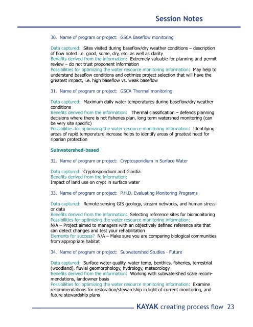
Session Notes30. Name of program or project: GSCA Baseflow monitoringData captured: Sites visited during baseflow/dry weather conditions – descriptionof flow noted i.e. good, some, dry, etc. as well as clarityBenefits derived from the information: Extremely valuable for planning and permitreview – do not trust proponent informationPossibilities for optimizing the water resource monitoring information: May help tounderstand baseflow conditions and optimize project selection that will have thegreatest impact, i.e. high baseflow vs. weak baseflow31. Name of program or project: GSCA Thermal monitoringData captured: Maximum daily water temperatures during baseflow/dry weatherconditionsBenefits derived from the information: Thermal classification – defends planningdecisions where there is not fisheries plan, long term watershed monitoring (canbe very site specific)Possibilities for optimizing the water resource monitoring information: Identifyingareas of rapid temperature increase helps to identify areas of greatest need forriparian protectionSubwatershed-based32. Name of program or project: Cryptosporidium in Surface WaterData captured: Cryptosporidium and GiardiaBenefits derived from the information:Impact of land use on crypt in surface water33. Name of program or project: P.H.D. Evaluating Monitoring ProgramsData captured: Remote sensing GIS geology, stream networks, and human stressordataBenefits derived from the information: Selecting reference sites for biomonitoringPossibilities for optimizing the water resource monitoring information:N/A – Project aimed to managers with an objectively defined reference site thatcan detect changes and test your rehabilitationElements for success? N/A – Make sure you are comparing biological communitiesfrom appropriate habitat34. Name of program or project: Subwatershed Studies - FutureData captured: Surface water quality, water temp, benthics, fisheries, terrestrial(woodland), fluvial geomorphology, hydrology, meteorologyBenefits derived from the information: Working with subwatershed scale recommendations,landowner basisPossibilities for optimizing the water resource monitoring information: Examinerecommendations for restoration/stewardship in light of current monitoring, andfuture stewardship plansKAYAK creating process flow 23


