ILLAWARRA BIODIVERSITY STRATEGY Vol. 2 - Wollongong City ...
ILLAWARRA BIODIVERSITY STRATEGY Vol. 2 - Wollongong City ...
ILLAWARRA BIODIVERSITY STRATEGY Vol. 2 - Wollongong City ...
- No tags were found...
Create successful ePaper yourself
Turn your PDF publications into a flip-book with our unique Google optimized e-Paper software.
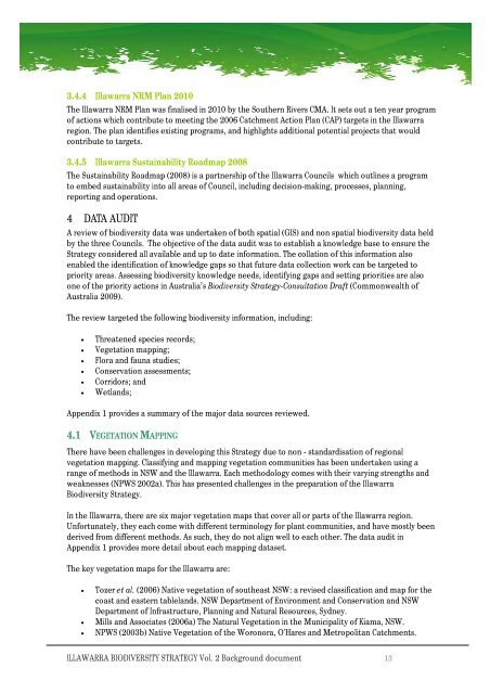
3.4.4 IllawarraNRMPlan2010The IllawarraNRMPlanwas finalisedin2010 by the SouthernRiversCMA.It setsout a tenyear programof actionswhichcontribute tomeetingthe 2006CatchmentActionPlan(CAP) targets in the Illawarraregion. The plan identifiesexisting programs, andhighlights additional potentialprojects thatwouldcontribute to targets.3.4.5 IllawarraSustainabilityRoadmap 2008The Sustainability Roadmap(2008) is apartnershipof the IllawarraCouncils whichoutlinesaprogramtoembedsustainability into allareasof Council, includingdecision-making, processes,planning,reporting andoperations.4 DATAAUDITAreviewof biodiversity data was undertakenof bothspatial(GIS) and nonspatialbiodiversity data heldby thethreeCouncils. Theobjectiveof the data auditwas toestablishaknowledge basetoensuretheStrategyconsideredallavailable andup to dateinformation. The collation of this informationalsoenabled the identificationof knowledge gaps so thatfuture datacollection work canbe targeted topriority areas.Assessingbiodiversity knowledge needs, identifying gapsandsetting prioritiesare alsoone of the priority actions inAustralia’s BiodiversityStrategy-ConsultationDraft (CommonwealthofAustralia 2009).The review targetedthe following biodiversity information, including:• Threatenedspecies records;• Vegetationmapping;• Floraand fauna studies;• Conservationassessments;• Corridors; and• Wetlands;Appendix 1 providesasummaryof the major data sources reviewed.4.1 VEGETATION MAPPINGThere have beenchallengesindeveloping thisStrategy due to non-standardisation ofregionalvegetationmapping. Classifying and mappingvegetation communities has beenundertaken using arange ofmethodsinNSW and the Illawarra.Eachmethodology comes with their varyingstrengths andweaknesses(NPWS2002a). This has presentedchallenges in the preparation ofthe IllawarraBiodiversityStrategy.In the Illawarra, there are six majorvegetationmaps that coverallor partsof theIllawarra region.Unfortunately, they each come withdifferent terminology for plantcommunities,andhavemostly beenderivedfrom differentmethods.Assuch,theydo notalign well to eachother.The dataauditinAppendix 1 providesmoredetailabout eachmappingdataset.The key vegetationmapsfor theIllawarraare:• Tozer et al. (2006) Nativevegetationof southeast NSW: arevisedclassification andmapfor thecoastand easterntablelands. NSWDepartmentofEnvironmentand Conservation andNSWDepartment of Infrastructure, PlanningandNaturalResources, Sydney.• Mills andAssociates (2006a) The Natural Vegetationin the MunicipalityofKiama, NSW.• NPWS(2003b)Native VegetationoftheWoronora, O'HaresandMetropolitan Catchments.<strong>ILLAWARRA</strong> <strong>BIODIVERSITY</strong><strong>STRATEGY</strong><strong>Vol</strong>.2Background document 13


