

Glenasmole Roads
Glenasmole Roads
Glenasmole Roads
- No tags were found...

You also want an ePaper? Increase the reach of your titles
YUMPU automatically turns print PDFs into web optimized ePapers that Google loves.
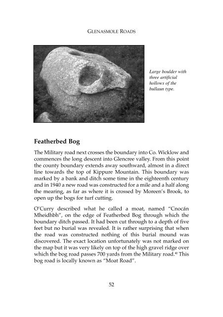
GLENASMOLE ROADSLarge boulder withthree artificialhollows of thebullaun type.Featherbed BogThe Military road next crosses the boundary into Co. Wicklow andcommences the long descent into Glencree valley. From this pointthe county boundary extends away southward, almost in a directline towards the top of Kippure Mountain. This boundary wasmarked by a bank and ditch some time in the eighteenth centuryand in 1940 a new road was constructed for a mile and a half alongthe mearing, as far as where it is crossed by Moreen’s Brook, toopen up the bogs for turf cutting.O’Curry described what he called a moat, named “CnocánMheidhbh”, on the edge of Featherbed Bog through which theboundary ditch passed. It had been cut through to a depth of fivefeet but no burial was revealed. It is rather surprising that whenthe road was constructed nothing of this burial mound wasdiscovered. The exact location unfortunately was not marked onthe map but it was very likely on top of the high gravel ridge overwhich the bog road passes 700 yards from the Military road. 42 Thisbog road is locally known as “Moat Road”.52