three well site check bldg lch-4022
three well site check bldg lch-4022
three well site check bldg lch-4022
You also want an ePaper? Increase the reach of your titles
YUMPU automatically turns print PDFs into web optimized ePapers that Google loves.
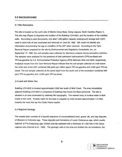
2.0 BACKGROUND2.1 Site DescriptionThe <strong>site</strong> is located on the north side of Marine Corps Base, Camp Lejeune, North Carolina (Figure 1).The <strong>site</strong> map (Figure 2) illustrates the location of the Building LCH-<strong>4022</strong>, and the location of the installed<strong>well</strong>s. According to past documents, one steel 1 ,OOO-gallon capacity underground storage tank (UST)used to store fuel oil was excavated and removed on June 28, 1992. GSI could not identify anyinformation documenting the age or condition of the UST when removed. According to the TankRemoval Report prepared for the <strong>site</strong> by Environmental and Regulatory Consultants, Inc.-onSeptember 17, 1992, two soil samples were collected for laboratory analysis during excavation activities.The samples were analyzed for the presence of total petroleum hydrocarbons (TPH)-asdiesel andTPH-as-gasoline by U.S. Environmental Protection Agency (EPA) Methods 3550 and 5030, respectively.Analytical results from the Tank Removal Report indicate that the soil sample collected at 2 feet belowthe north end of the UST contained 599 parts per million (ppm) TPH-as-gasoline and 4,300 ppm TPH-asdiesel.The soil sample collected at the same depth from the south end of the excavation contained 699ppm TPH-as-gasoline and 14,900 ppm TPH-asdiesel.2.2 Land and Water UseBuilding LCH-<strong>4022</strong> is located approximately 2,500 feet south of Mott Creek. The area immediatelyadjacent Building LCH-<strong>4022</strong> is comprised of buildings that house the Base personnel. The <strong>site</strong> issituated in an area dominated by relatively flat topography. The nearest body of surface water is MottCreek to the north. Potable water for the base is supplied by <strong>well</strong>s located approximately 1.5 milestowards the west that tap the Castle Hayne aquifer.2.3 Regional GeologyThe coastal plain consists of a layered sequence of unconsolidated sand, gravel, silt, and clay depositsof Miocene to Holocene age. These deposits and formations of Lower Cretaceous age, which overliebedrock of Pre-Cretaceous age, thicken and dip eastward with a thickness of 1,500 feet in the Camp *Lejeune area (Harned et al., 1989). The geologic units in the area are divided into six formations: the3


