CV OF DR. PK GARG Name - Channel - Indian Institute of ...
CV OF DR. PK GARG Name - Channel - Indian Institute of ...
CV OF DR. PK GARG Name - Channel - Indian Institute of ...

Create successful ePaper yourself
Turn your PDF publications into a flip-book with our unique Google optimized e-Paper software.
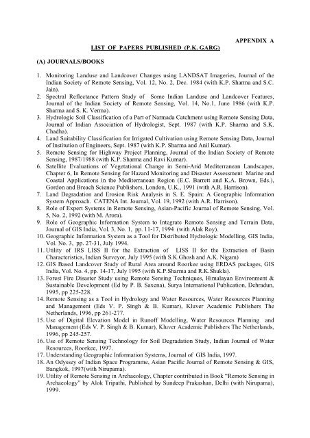
LIST <strong>OF</strong> PAPERS PUBLISHED (P.K. <strong>GARG</strong>)APPENDIX A(A) JOURNALS/BOOKS1. Monitoring Landuse and Landcover Changes using LANDSAT Imageries, Journal <strong>of</strong> the<strong>Indian</strong> Society <strong>of</strong> Remote Sensing, Vol. 12, No. 2, Dec. 1984 (with K.P. Sharma and S.C.Jain).2. Spectral Reflectance Pattern Study <strong>of</strong> Some <strong>Indian</strong> Landuse and Landcover Features,Journal <strong>of</strong> the <strong>Indian</strong> Society <strong>of</strong> Remote Sensing, Vol. 14, No.1, June 1986 (with K.P.Sharma and S. K. Verma).3. Hydrologic Soil Classification <strong>of</strong> a Part <strong>of</strong> Narmada Catchment using Remote Sensing Data,Journal <strong>of</strong> <strong>Indian</strong> Association <strong>of</strong> Hydrologist, Sept. 1987 (with K.P. Sharma and S.K.Chadha).4. Land Suitability Classification for Irrigated Cultivation using Remote Sensing Data, Journal<strong>of</strong> Institution <strong>of</strong> Engineers, Sept. 1987 (with K.P. Sharma and Anil Kumar).5. Remote Sensing for Highway Project Planning, Journal <strong>of</strong> the <strong>Indian</strong> Society <strong>of</strong> RemoteSensing, 1987/1988 (with K.P. Sharma and Ravi Kumar).6. Satellite Evaluations <strong>of</strong> Vegetational Change in Semi-Arid Mediterranean Landscapes,Chapter 6, In Remote Sensing for Hazard Monitoring and Disaster Assessment Marine andCoastal Applications in the Mediterranean Region (E.C. Barrett and K.A. Brown, Eds.),Gordon and Breach Science Publishers, London, U.K., 1991 (with A.R. Harrison).7. Land Degradation and Erosion Risk Analysis in S. E. Spain: A Geographic InformationSystem Approach. CATENA Int. Journal, Vol. 19, 1992 (with A.R. Harrison).8. Role <strong>of</strong> Expert Systems in Remote Sensing, Asian-Pacific Journal <strong>of</strong> Remote Sensing, Vol.5, No. 2, 1992 (with M. Arora).9. Role <strong>of</strong> Geographic Information System to Integrate Remote Sensing and Terrain Data,Journal <strong>of</strong> GIS India, Vol. 3, No. 1, pp. 11-17, 1994 (with Alak Roy).10. Geographic Information System as a Tool for Distributed Hydrologic Modelling, GIS India,Vol. No. 3, pp. 27-31, July 1994.11. Utility <strong>of</strong> IRS LISS II for the Extraction <strong>of</strong> LISS II for the Extraction <strong>of</strong> BasinCharacteristics, <strong>Indian</strong> Surveyor, July 1995 (with S.K.Ghosh and A.K. Nigam)12. GIS Based Landcover Study <strong>of</strong> Rural Area around Roorkee using ERDAS packages, GISIndia, Vol. No. 4, pp. 14-17, July 1995 (with K.P.Sharma and R.K.Shukla).13. Forest Fire Disaster Study using Remote Sensing Techniques, Himalayan Environment &Sustainable Development (Ed by P. B. Saxena), Surya International Publication, Dehradun,1995, pp 225-228.14. Remote Sensing as a Tool in Hydrology and Water Resources, Water Resources Planningand Management (Eds V. P. Singh & B. Kumar), Kluver Academic Publishers TheNetherlands, 1996, pp 261-277.15. Use <strong>of</strong> Digital Elevation Model in Run<strong>of</strong>f Modelling, Water Resources Planning andManagement (Eds V. P. Singh & B. Kumar), Kluver Academic Publishers The Netherlands,1996, pp 245-257.16. Use <strong>of</strong> Remote Sensing Technology for Soil Degradation Study, <strong>Indian</strong> Journal <strong>of</strong> WaterResources, Roorkee, 1997.17. Understanding Geographic Information Systems, Journal <strong>of</strong> GIS India, 1997.18. An Odyssey <strong>of</strong> <strong>Indian</strong> Space Programme, Asian Pacific Journal <strong>of</strong> Remote Sensing & GIS,Bangkok, 1997(with Nirupama).19. Utility <strong>of</strong> Remote Sensing in Archaeology, Chapter contributed in Book “Remote Sensing inArchaeology” by Alok Tripathi, Published by Sundeep Prakashan, Delhi (with Nirupama),1999.